I spent nearly all of April breaking in my new car with a 6500-mile road trip up and down the West Coast. I’ve done many similar trips in the past, but this one had a completely different feel to it. And that’s because the severe drought—which for more than seven years had parched California and gifted me with suspiciously perfect weather and unusually good road conditions—was over.
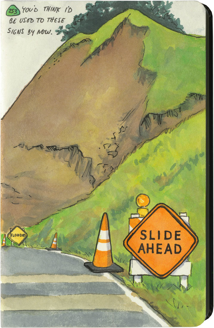
This year, California had just come out of one of its wettest winters on record. All that rain after such a long drought had brutal effects on hillsides and roadbeds all over the state. I quickly became accustomed to seeing signs like this one everywhere I went—to the point where I lost count of the number of detours, patched pavement, and in-progress landslides along my route. Over and over again I either had to make adjustments to my plans (I had to cut the Big Sur Coast out entirely, since Highway One has been closed there since February), or else take extra time to pick my way over some truly scary patches of pavement.
The state of affairs was so unpredictable that I got in the habit of checking road conditions on my phone a day or two ahead of each day’s planned route. On one cursory inspection, I stopped dead, my eyes widening at what I saw: Highway 101, my route through the redwoods, which happens to be the only route through the redwoods, was closed. Completely closed. No detour, the warning said.
No detour.
By this time I was familiar with the Norcal Coast—I knew that it’s pretty darn audacious of Highway 101 even to be there, what with the mountains that squeeze right up to the rugged, rain-soaked coastline. I remember driving through there in the past, marveling at the engineering required to put a road there in the first place, and being thankful that nothing had blocked my way and left me up the proverbial creek—yet I never actually looked at a map to see what kind of workaround a closure would require. Well I was about to find out.
Luckily, this little monkey wrench couldn’t have happened on a better day. This happened to be the shortest day of the trip, with just over 100 miles between hotels. And I only had one real plan for the day: to explore the Lost Coast, that rugged swath of coastline traversed only by primitive roads, where tourists feared to tread.
Nevermind—a massive rockslide just north of Leggett put paid to that plan. I still needed to get to Ferndale, though, if I wanted to honor my reservation that night and make it to the next leg of the trip. And since there was “no detour,” I scoured my maps to see just what that would mean.
Uh, yeah. This is what it means. It means crossing back east over the mountains on State Route 20, then a trek up through nearly the entire length of the Sacramento Valley (that little Highway 99 jog was just a break to save my sanity), then back over the mountains to 101 again on State Route 36. There are no east-west highways between 20 and 36, either. This was my route, the new plan. I added up the mileage of what I’d have to do the next day: nearly 400 miles.
I set an early alarm, asked the universe to refrain from any more surprises, and went to bed.
The next day was was both beautiful and harrowing. I got to see a broad swath of the state I’d never experienced before. And I also got hit with some home truths about this modern life we all take for granted—how easy it would be for nature to knock it all right out. As I wound my way over mountain pass after mountain pass, the roads got scarier and scarier. There were places where it was obvious the hillsides were trying their best to slough off their ribbon of road—and I just hoped the mountains wouldn’t win the fight on that particular day. The very worst came near the very end, a ten-mile stretch of obviously temporary, hastily repaired state highway. The pavement was so precarious, so narrow, that they didn’t bother with a yellow stripe. And at least half of the curves were completely blind, making it necessary to do that horn-honking oh-god-oh-god-here-I-come ritual before each one.
Now, don’t get me wrong—I love mountain driving. I love curvy roads. And I love unexpected adventures. And my desire for it all is darn near insatiable. But by about the ninth hour of tortuous highway and the almost total lack of towns, services or cell signal, I’d all but lost interest in the adventure of it all. I just wanted to get there in one piece.
When I finally did, I ended up a stone’s throw from the other end of that Lost Coast road that had been the original plan. I’d been to this spot before, and had always found that Capetown-Petrolia sign enticing and mysterious—what lay down that road, beyond that dark wall of trees?
This time, though, at the sight of all the warning signs they’d erected here (Chains required! No motorhomes! No services!), I just started laughing. Because after the day I’d just had, I could not have cared less. My curiosity had gone on strike—and in its place was a powerful desire to crawl right into bed.


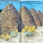
 Ghost domes
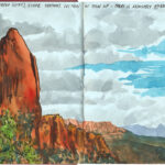
  Forgotten canyon
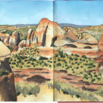
  Twists and turns
Oh yeay – you made it to tell the story!!! Thank you.
You’re such a great storyteller!
– Tina
I felt that way in Florida, too, like it was precarious and we were all hanging off the edge of the bay …