Tag Archives: Pacific Highway

Greetings from the Best Coast

Greetings from the [Quarantined] Coast! Hoping this finds you safe and well, and staying home to help “flatten the curve” of the virus that is suddenly everywhere at once. Here in Washington we’re sheltering in place—and as fate would have it, today I am celebrating (from home) the release date of my newest book! Greetings from the Best Coast is a companion book of postcards to my popular Best Coast book—a gift for fellow travelers or a whole packet of instant travel souvenirs.

Postcard excerpt from "Greetings from the Best Coast" book of 32 postcards by Chandler O'Leary, published by Sasquatch Books

I was hoping to be able to unveil this news in a snazzier fashion (like at one of my many now-cancelled events, thanks to the ‘rona). Still, it feels so great to see this little book in person! The book contains 32 illustrated postcards (2 each of 16 designs) with quintessentially West Coast scenes and hand-lettering. They’re perfect for bringing along on your next road trip to mail souvenirs from the road (or from the comfort of your reading nook), for sending an invitation to join you on your next adventure, or for presenting the whole book as a gift to your favorite travel companion.

Postcard excerpt from "Greetings from the Best Coast" book of 32 postcards by Chandler O'Leary, published by Sasquatch Books

Sasquatch Books, as usual, did a beautiful job of creating an appealing package, with a gorgeous hardcover (with illustrated endsheets! My nerdy heart is all aflutter) wrapped around the stack of postcards inside.

Postcard excerpt from "Greetings from the Best Coast" book of 32 postcards by Chandler O'Leary, published by Sasquatch Books

Since we are all armchair travelers right now, I am planning to mail these to friends and family around the country—as a fun memento of trips past and in hopes of being able to travel again someday in the future, when we get to the other side of this crisis.

Postcard excerpt from "Greetings from the Best Coast" book of 32 postcards by Chandler O'Leary, published by Sasquatch Books

Major thanks to the team at Sasquatch for making these postcards a reality—especially to my amazing editor Hannah Elnan, and the brilliant art director, Anna Goldstein. If you’d like your own copy, you can find it in the shop!

"Greetings from the Best Coast" book of 32 postcards by Chandler O'Leary, published by Sasquatch Books

Book cover and process images from "The Best Coast" book written & illustrated by Chandler O'Leary, published by Sasquatch Books

Today’s the day!

Today is the “book birthday” of The Best Coast: A Road Trip Atlas! After nearly three years of work and a solid decade of research, I can’t believe this day is here. I am so excited to share this labor of love with you, and I hope you’ll love it, too. With 99 hand-drawn maps, more than 400 full-color illustrations, and several hundred more illustrated icons, vignettes, and hand-lettered type treatments, it’ll give you plenty to sink your teeth into for your next road trip!

I owe a boatload of thanks to Sasquatch Books for making this book both a reality and a thing of beauty—especially to Anna Goldstein and her design team, and my longtime editor, Hannah Elnan. And thanks also to the indie bookstores and West Coast museums, restaurants, travel boutiques and souvenir shops that have championed this book—thanks to them, I can say not only can you find it “wherever books are sold,” but in all sorts of wonderful places, all up and down the Best Coast!

Happy reading, and happy travels!

UPDATE, March 2020: You can now also find signed copies in my web shop!

Skagit Valley tulip field sketch by Chandler O'Leary

Fields of gold (or pink, or orange…)

Obviously I have a thing for standing in a field carpeted with flowers and busting out the ol’ watercolors—because not only does it crop up (no pun intended) again and again on this blog…

Excerpt of "The Best Coast" book by Chandler O'Leary

…but it’s also a recurring theme in my new book. The fun part, of course, was traveling to all these flowery places and experiencing them in person for research. The tulip fields of the Skagit Valley were well-traveled ground for me, so I was already familiar with the hybrid nature of the place: half working agricultural region, half tourist attraction.

Excerpt of "The Best Coast" book by Chandler O'Leary

Ranunculus field sketch by Chandler O'Leary

Then there were the Flower Fields of the southern California coast: while this ranunculus haven still sells seeds and starts to gardeners, the place has become a full-on tourist trap, complete with ticketed admission and concession stands (it’s still totally worth it; the fields are stunning).

Antelope Valley Poppy Preserve sketch by Chandler O'Leary

My favorite, however, were the wild California poppy fields of the Antelope Valley. Visiting this place took both planning and luck, because no tourist trap could make the valley bloom on schedule. In fact, it took me many attempts, over years’ worth of SoCal road trips, to see the poppies in person, thanks to a seven-year drought that made the delicate desert landscape inhospitable to flower blooms.

Excerpt of "The Best Coast" book by Chandler O'Leary Antelope Valley Poppy Preserve sketch by Chandler O'Leary

When I finally made it at the right time, under the right conditions, the experience was nothing short of magical. It made every previous, failed attempt worth the time and effort, and had me plotting future trips on the spot. It really drove home (apparently my brain churns out puns involuntarily, sorry) the fact that it’s not enough, for me, to know a place exists before I feel I can write about it. I have to experience it for myself, see it with my own eyes, and use my hands to commit it to paper with pen and paint, if at all possible. It’s an enormous privilege to be able to do this—and sharing that moment and others like it (or at least attempting to) is what creating this book was all about. I can only hope a tiny glimmer of that comes through onto the page—and that it inspires my readers to go to these places, so they can experience the real thing for themselves.

"The Best Coast" book by Chandler O'Leary

The Best Coast

While I’ve hinted at this several times on social media, and even shown some snippets of my process along the way, mostly I’ve been sitting on my hands lately, trying my best to keep mum while I wait for time to tick by. And now the waiting is almost over, and it’s time for the big reveal of my new book!

At long last, The Best Coast: A Road Trip Atlas is almost here! This book—an entirely illustrated travel guide to the West Coast—has been a labor of love for me, spanning more than two years of work on the book itself and a solid decade of research, road trips and travel sketching. And now we’re just a little over a month away from the publication date on April 9!

I’ll be sharing a lot more here and over at my studio blog (after today, there’ll be different content in each place) in the days and weeks to come: behind-the-scenes process images, stories and sketches behind the locations featured in the book, a social media photo contest (with prizes!), and much more. And if you’re local, we’ll be throwing the official launch party right here in Tacoma:

Best Coast launch party
Wednesday, April 10, 2019
7 pm, free!
King’s Books
218 St. Helens Ave, Tacoma, WA

In the meantime, you can learn more about the book and preorder your copy on my book page! Many thanks to the team at Sasquatch Books for making this book—a dream of mine for years now—a reality! Looking forward to sharing more with you soon.

P.S. Because people always ask me, yes, preordering—as opposed to waiting until the book comes out—makes a huge difference. Books with strong preorder sales get better promotion from both the publisher and retailers, get a better ranking on huge sites like Amazon (and thus better exposure), and reach a wider audience of both customers and press outlets. So every preorder counts, and is like an extra boost of support, both for me and for your favorite retailer.

Landslide sketch by Chandler O'Leary

The long detour

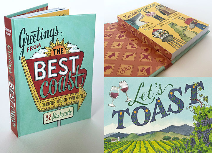
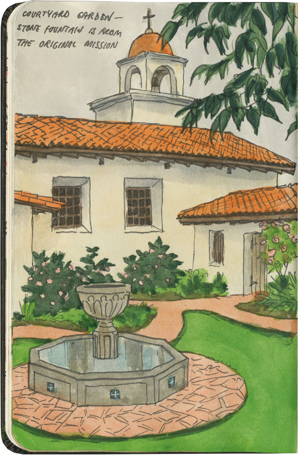
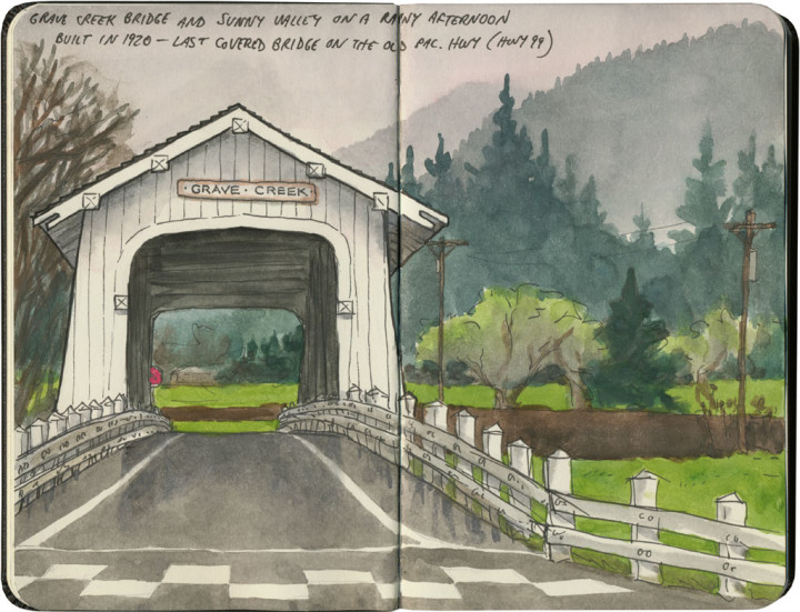
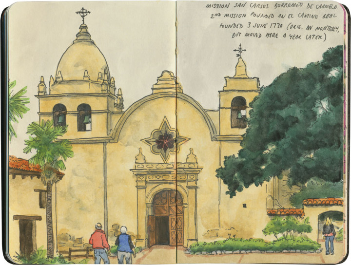
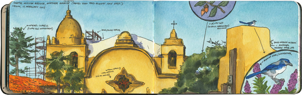
I spent nearly all of April breaking in my new car with a 6500-mile road trip up and down the West Coast. I’ve done many similar trips in the past, but this one had a completely different feel to it. And that’s because the severe drought—which for more than seven years had parched California and gifted me with suspiciously perfect weather and unusually good road conditions—was over.

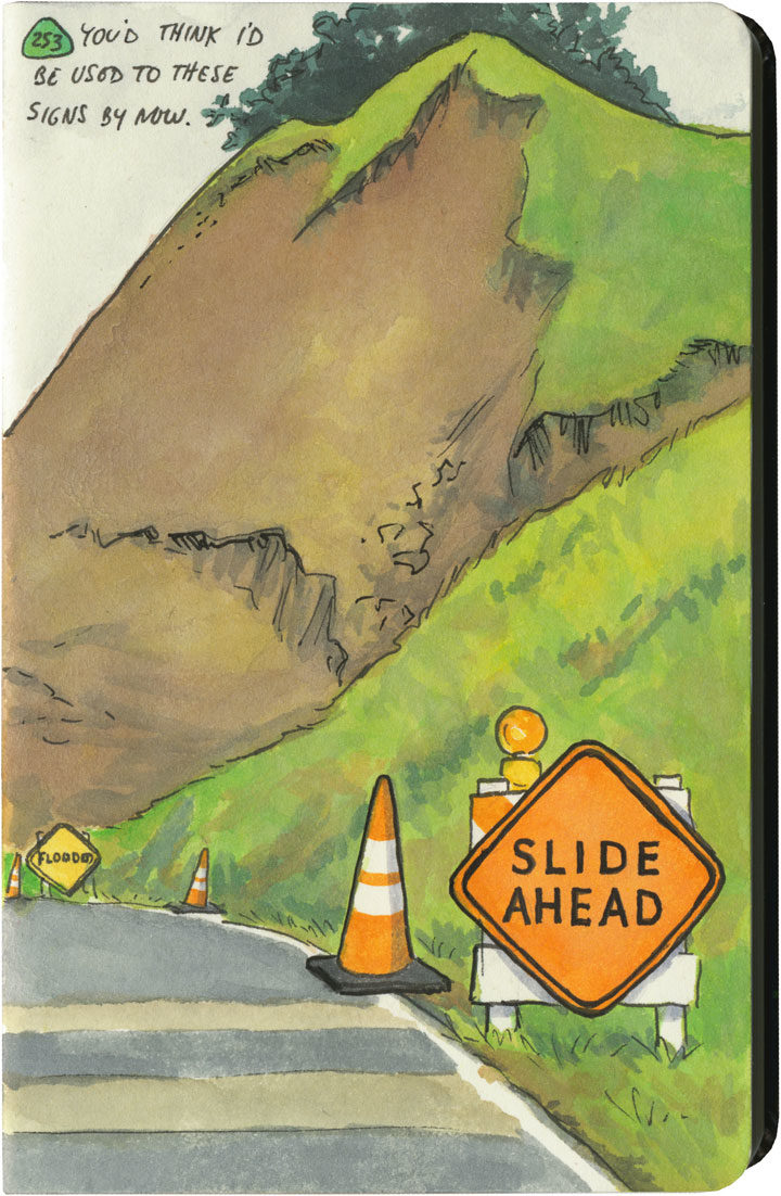
This year, California had just come out of one of its wettest winters on record. All that rain after such a long drought had brutal effects on hillsides and roadbeds all over the state. I quickly became accustomed to seeing signs like this one everywhere I went—to the point where I lost count of the number of detours, patched pavement, and in-progress landslides along my route. Over and over again I either had to make adjustments to my plans (I had to cut the Big Sur Coast out entirely, since Highway One has been closed there since February), or else take extra time to pick my way over some truly scary patches of pavement.

Landslide sketch by Chandler O'Leary

The state of affairs was so unpredictable that I got in the habit of checking road conditions on my phone a day or two ahead of each day’s planned route. On one cursory inspection, I stopped dead, my eyes widening at what I saw: Highway 101, my route through the redwoods, which happens to be the only route through the redwoods, was closed. Completely closed. No detour, the warning said.

No detour.

By this time I was familiar with the Norcal Coast—I knew that it’s pretty darn audacious of Highway 101 even to be there, what with the mountains that squeeze right up to the rugged, rain-soaked coastline. I remember driving through there in the past, marveling at the engineering required to put a road there in the first place, and being thankful that nothing had blocked my way and left me up the proverbial creek—yet I never actually looked at a map to see what kind of workaround a closure would require. Well I was about to find out.

Luckily, this little monkey wrench couldn’t have happened on a better day. This happened to be the shortest day of the trip, with just over 100 miles between hotels. And I only had one real plan for the day: to explore the Lost Coast, that rugged swath of coastline traversed only by primitive roads, where tourists feared to tread.

Nevermind—a massive rockslide just north of Leggett put paid to that plan. I still needed to get to Ferndale, though, if I wanted to honor my reservation that night and make it to the next leg of the trip. And since there was “no detour,” I scoured my maps to see just what that would mean.

Landslide detour map sketch by Chandler O'Leary

Uh, yeah. This is what it means. It means crossing back east over the mountains on State Route 20, then a trek up through nearly the entire length of the Sacramento Valley (that little Highway 99 jog was just a break to save my sanity), then back over the mountains to 101 again on State Route 36. There are no east-west highways between 20 and 36, either. This was my route, the new plan. I added up the mileage of what I’d have to do the next day: nearly 400 miles.

I set an early alarm, asked the universe to refrain from any more surprises, and went to bed.

Landslide detour sketch by Chandler O'Leary

The next day was was both beautiful and harrowing. I got to see a broad swath of the state I’d never experienced before. And I also got hit with some home truths about this modern life we all take for granted—how easy it would be for nature to knock it all right out. As I wound my way over mountain pass after mountain pass, the roads got scarier and scarier. There were places where it was obvious the hillsides were trying their best to slough off their ribbon of road—and I just hoped the mountains wouldn’t win the fight on that particular day. The very worst came near the very end, a ten-mile stretch of obviously temporary, hastily repaired state highway. The pavement was so precarious, so narrow, that they didn’t bother with a yellow stripe. And at least half of the curves were completely blind, making it necessary to do that horn-honking oh-god-oh-god-here-I-come ritual before each one.

Landslide detour sketch by Chandler O'Leary

Now, don’t get me wrong—I love mountain driving. I love curvy roads. And I love unexpected adventures. And my desire for it all is darn near insatiable. But by about the ninth hour of tortuous highway and the almost total lack of towns, services or cell signal, I’d all but lost interest in the adventure of it all. I just wanted to get there in one piece.

Lost Coast road sketch by Chandler O'Leary

When I finally did, I ended up a stone’s throw from the other end of that Lost Coast road that had been the original plan. I’d been to this spot before, and had always found that Capetown-Petrolia sign enticing and mysterious—what lay down that road, beyond that dark wall of trees?

This time, though, at the sight of all the warning signs they’d erected here (Chains required! No motorhomes! No services!), I just started laughing. Because after the day I’d just had, I could not have cared less. My curiosity had gone on strike—and in its place was a powerful desire to crawl right into bed.


Save

Save

Save

Save

Save

Save

Save

Save

Save

Prehistoric Gardens dinosaurs sketch by Chandler O'Leary

Jurassic forest

Speaking of incongruous dinosaurs, if you ever find yourself traveling up Highway 101 along the Oregon coast, you might be surprised to see a brachiosaurus head poking up through the trees. Just like the Columbia River Gorge, the Oregon rainforest isn’t a place you’ll ever find actual dinosaur fossils. Still, there’s something about the misty hillsides and impossibly tall trees that make it easy to imagine yourself standing in a primordial place.

San Francisco Bay area sketch by Chandler O'Leary

The long view

On the morning I did this sketch, I was supposed to be sitting in a darkened lecture hall, listening to a bunch of scholars talk about art. But I just couldn’t do it. On a day like that, it seemed criminal to pass up such a beautiful place. So I jumped in the car and drove in the opposite direction—in the same time it would have taken me to get to the auditorium, I had reached the top of the world.

Posting this sketch has me remembering that I do this a lot. I have a long history of throwing the itinerary out the window and going off on my own to explore instead. And I gotta say: every single time, without fail, it’s been precisely the right choice to make.

Mission Santa Cruz sketch by Chandler O'Leary

Model mission

This is the sixteenth installment of my Mission Mondays series, exploring all 21 Spanish Missions along the California coast. You can read more about this series, and see a sketch map of all the missions, at this post.

After the splendor of Carmel and San Juan Bautista, I have to admit that Mission Santa Cruz (or La Misión de la Exaltación de la Santa Cruz if you want to use its full name) felt like a bit of a letdown. If you didn’t know the story (and I didn’t until I got there), it’d be easy to just breeze into town, see a tidy little church in a neighborhood square, shrug and move on.

Detail of California Missions map sketch by Chandler O'Leary

The original mission was the twelfth founded along El Camino Real, and never one of the large ones. It was first built in 1791 on the flood plain of the San Lorenzo river, but within months it was destroyed by flood waters. Not eager to repeat all of that, the padres rebuilt the mission on the hill overlooking the original site, but that too was destroyed in an 1857 earthquake.

Mission Santa Cruz sketch by Chandler O'Leary

So all that’s left of the original mission on the hill is one long quadrangle wall; and in the sketch above you can see the steeple of the Victorian-era Holy Cross Church they built on the rest of the original site.

Mission Santa Cruz sketch by Chandler O'Leary

What stands in for the mission now is a 1930s replica—but what’s odd is that it’s a scale replica. I suppose with the addition of the Victorian church across the square, there wouldn’t have been room (or in the 30s, I suspect, the funds) to build a full-scale copy of Mission Santa Cruz. It’s easy to give the replica structure a miss, but I think the fact that it’s built to half scale makes it something of a curiosity. What’s also curious is that the new structure exists thanks to a sole benefactress, one Gladys Sullivan Doyle. She single-handedly funded the construction, on the condition that she be buried on site upon her death.

So strolling through the back garden of the replica mission felt like being on a film set—or inside a human-scale puzzle. It felt odd to try to piece together the story of the place, and finding both real historical remnants and false clues presented like red herrings.

Of course, in the end my stupid brain had the last word, and dashed any further serious inquiry by replaying that Monty Python line in my head: “It’s only a model.”

Covered bridge sketch by Chandler O'Leary

New England transplant

You wouldn’t normally think of the Pacific Northwest as covered bridge country, but we do have a few here. Southern Oregon is home to a real beauty, and the last covered bridge still standing along old Highway 99. Of course, the rainy Northwest weather and towering conifers gave it away, but otherwise, the place made me feel like I was standing in a Vermont mountain glen.

Mission San Carlos Borromeo de Carmelo sketch by Chandler O'Leary

Mission Control

This is the fourteenth installment of my Mission Mondays series, exploring all 21 Spanish Missions along the California coast. You can read more about this series, and see a sketch map of all the missions, at this post.

I had some technical difficulties with the site this week, so Mission Monday couldn’t happen on Monday—but everything’s back up and running now, and anyway, isn’t better when Monday turns out to be Friday anyway? So let’s get back to it!

Detail of California Missions map sketch by Chandler O'Leary

Mission San Carlos Borromeo de Carmelo (Carmel Mission for short) is the exact opposite of its nearest neighbor, La Soledad. It’s in the center of town, rather than way out in the country. The structure is mostly original, instead of a rebuilt replica. The complex is ornate and unusual, in contrast to the simple, almost stereotypical style of La Soledad. And while La Soledad is nearly forgotten all the way out there in the valley, Carmel is bustling with tourists and well-to-do townsfolk—there’s no danger of this beloved mission falling into disrepair.

Mission San Carlos Borromeo de Carmelo sketch by Chandler O'Leary

In fact, the buildings are in fine fettle. This is one of the missions I’ve visited before, and when I was here two years ago, the façade was covered in scaffolding and tarps. So while the weather was brighter that first day, I’m glad I got to see it again without any distracting construction equipment around.

Mission San Carlos Borromeo de Carmelo sketch by Chandler O'Leary

Carmel Mission has an interesting history, and a special place among its 20 siblings. It was the favorite of Blessed Junípero Serra, the priest who founded the first nine of the Alta California missions. He made Carmel the headquarters and seat of power of the entire chain, and directed operations for all the missions from this site until his death in 1784 (he’s even buried beneath the chapel floor). And in recent years Carmel has been made a basilica, giving it special status (and therefore protection) among the Catholic Church’s properties.

Mission San Carlos Borromeo de Carmelo sketch by Chandler O'Leary

Like most of the missions, Carmel has seen many modifications over the years, and spent time in serious disrepair—but great pains have been taken to restore it to its original glory. As a result, it’s considered the most architecturally authentic of the missions. Later additions like steep rooflines and Victorian details have been removed, so what you see now is as close to the original as possible.

Mission San Carlos Borromeo de Carmelo sketch by Chandler O'Leary

I love how Carmel perfectly marries different architectural styles into one lovely whole. There are the more “traditional” mission elements like tile rooftops and adobe colonnades—

Mission San Carlos Borromeo de Carmelo sketch by Chandler O'Leary

—and then there’s the stone cathedral, with the more unusual Moorish influence (like that of Mission San Gabriel) of its ovoid dome and that spectacular star window.

Mission San Carlos Borromeo de Carmelo sketch by Chandler O'Leary

But what I love best is the interior. The ceiling of the nave is arched, but not in the way a Gothic (pointed arch) or Romanesque (semicircular arch) nave would be. The shape here is a specific type called a catenary—the precise curve formed by a chain held with both ends up and its length hanging between them. Catenary arches aren’t found as commonly as other types (though since they perfectly balance the opposing forces of tension and compression, maybe they should be), but if you’ve ever seen the Gateway Arch in St. Louis, you’ve seen a catenary before.

(If you haven’t guessed, I’m a sucker for simple, mathematical perfection found in very old and unlikely places.)

Mission San Carlos Borromeo de Carmelo sketch by Chandler O'Leary

The rest of the interior is a rabbit warren of brightly painted side chapels, living quarters and historical dioramas (warning: if dolls creep you out, you might want to skip this bit).

Mission San Carlos Borromeo de Carmelo sketch by Chandler O'Leary

And when you wander back outside, you can breathe in the sea air and the fragrance of citrus and bougainvillea.

Save