Tag Archives: California

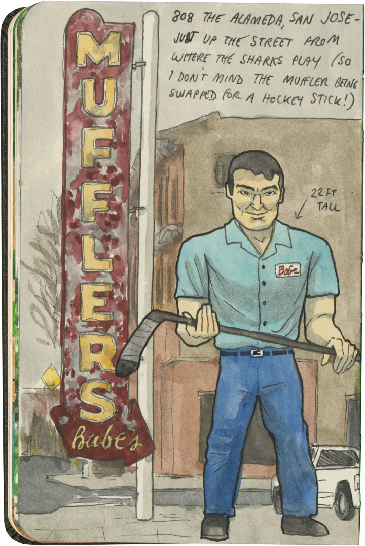
Muffler Man sketch by Chandler O'Leary

Slapshot statue

San Jose’s Muffler Man might not be the most unusual fiberglass specimen out there, but he’ll always have a place in my heart for combining my favorite type of roadside attraction with my favorite sport. Heck, the Muffler Man’s standard pose is perfect form for holding a hockey stick: top hand pointing down, bottom hand pointing up. If that’s not a sign this guy is just my type, I don’t know what is. Now if only I could find a Paul Bunyan goalie somewhere…

Route 66 sketch by Chandler O'Leary

The proof is in the pavement

This post is part of an ongoing series called 66 Fridays, which explores the wonders of old Route 66. Click on the preceding “66 Fridays” link to view all posts in the series, or visit the initial overview post here.

It’s easy to take for granted the fact that the American West is crisscrossed with highways nowadays, but those highways didn’t get there by chance. If you look closely at the routes those highways take, you can give yourself an excellent crash course in history, both human and natural. Overland exploration, trade routes, desert basins, animal migration, continental drift…all these things and more are hinted at by the map sketched out by the U.S. highway system.

Let me explain what I mean. If you happened to grow up in the Midwest, chances are your mental map would be dictated by a grid that follows the cardinal directions. In the Great Plains, particularly, where the landscape is mostly flat, dividing property lines and town borders into a standard grid makes the most sense. Much of the United States west of the Appalachians is arranged this way, in fact, in a basic grid called the Range and Township system. The system overlays a simple framework of one-square-mile sections over the entire western two-thirds of the country, dividing the landscape into rangeland for farming and six-mile by six-mile townships. Interestingly enough, we have Thomas Jefferson to thank for this system, which he devised in 1785 as a way to manage the vast swaths of land that, after the Revolution (and some years later the Louisiana Purchase), now belonged to the U.S. His reasoning, I think, was both practical and lofty: as a farmer himself, he was looking for a workable alternative to the inherited system of Metes and Bounds, England’s age-old framework for managing farmland and water access. While that system worked for the colonies, each roughly comparable in size and topography to what they knew in the Old World, the old framework wasn’t scalable to the size of the new West—particularly when tracts of land were being sold off sight-unseen to settlers and prospectors. But beyond the practical logic, I think Jefferson had more philosophical motives behind his plan. This is the guy who designed Monticello, after all, a monument to neoclassical thinking and an homage to ancient Greece and Rome. The Range and Township system applied a sense of order—however illusory—to the uncharted wilds of the West. It brought rational thought and a sense of opportunity to an area associated with chaos and the fear of the unknown.
Route 66 sketch by Chandler O'Leary

If you’ve ever visited the Great Plains, you can still see Thomas Jefferson’s plan in evidence, from the straight-as-an-arrow farm roads in rural areas, to the faithful system of thoroughfares in cities like Tulsa or Dallas, where the roads always travel from A to B in a straight line, with traffic lights appearing like clockwork at precise one-mile increments, and tenth-of-a-mile residential blocks in between.

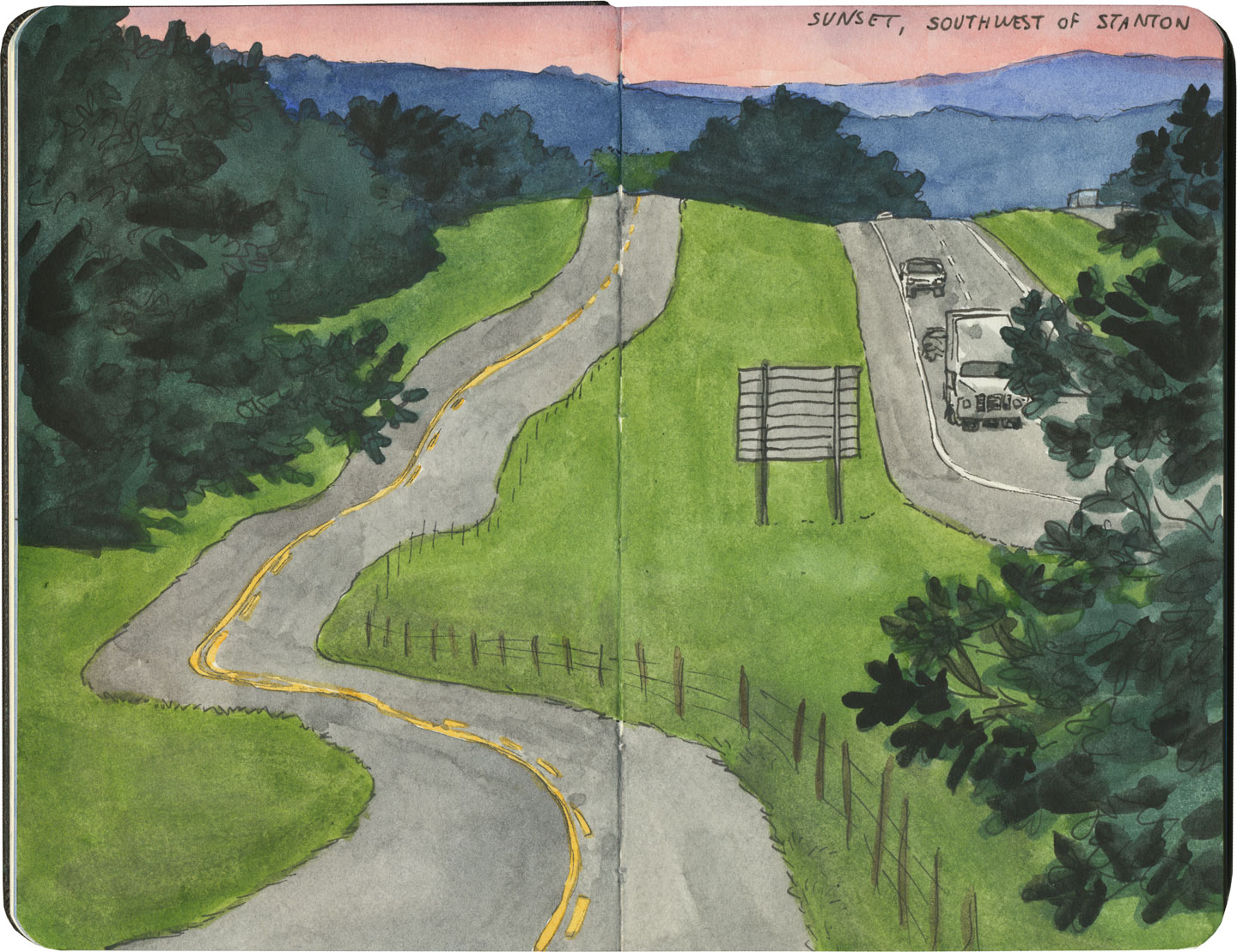
But here’s the problem: Thomas Jefferson never laid eyes on the West he gridded out like a piece of paper. He never saw nature’s rebuttal to rationality in the Rockies or the Colorado Plateau. It’s all well and good to have a sensible grid in a flat place, without major physical features to interrupt the plan. But in many parts of the West, Jefferson’s tidy squares becomes utterly useless. You can’t easily farm a quadrangle of land that’s bisected by a canyon, and you can’t run a road up and over a mountain. Travel in a straight line is impossible in many, many places. As everyone from Chief Joseph to Lewis and Clark to highway engineers could tell you, there are some places in the West where only one route overland is possible—or none at all.
Route 66 sketch by Chandler O'Leary

So if you look at a modern highway map of the western half of the United States, the limitations geography places on rationality are obvious. You can see precisely where the Corps of Discovery found their way to the Pacific Northwest, or where the stagecoaches hauled goods to Santa Fe, or how the Mormon pioneers tumbled out of the mountains to the Great Salt Lake, or the supply route linking the California Missions to Mexico. It’s all there, because centuries later we’re still traveling the exact same routes that humans always have, dodging mountains and following water to whatever their destinations were. The Conestoga wagons followed the game trails and trade routes of the various Indigenous peoples. The railroad followed the pioneers’ wagon tracks. The first pavement slabs paralleled the railroad grade, and modern Interstate freeways zoom right over many of those original roadbeds and trailways. Even the technology of conveyance was based on the older methods of travel—just look at the wheel base on a modern car, whose width matches that of railroad cars, themselves directly descended from the lineage of horse-drawn wagon measurements.

As you can probably guess by my long-winded introduction here, this stuff ties square in with Route 66 and the path it cuts to the Pacific.
Route 66 sketch by Chandler O'Leary

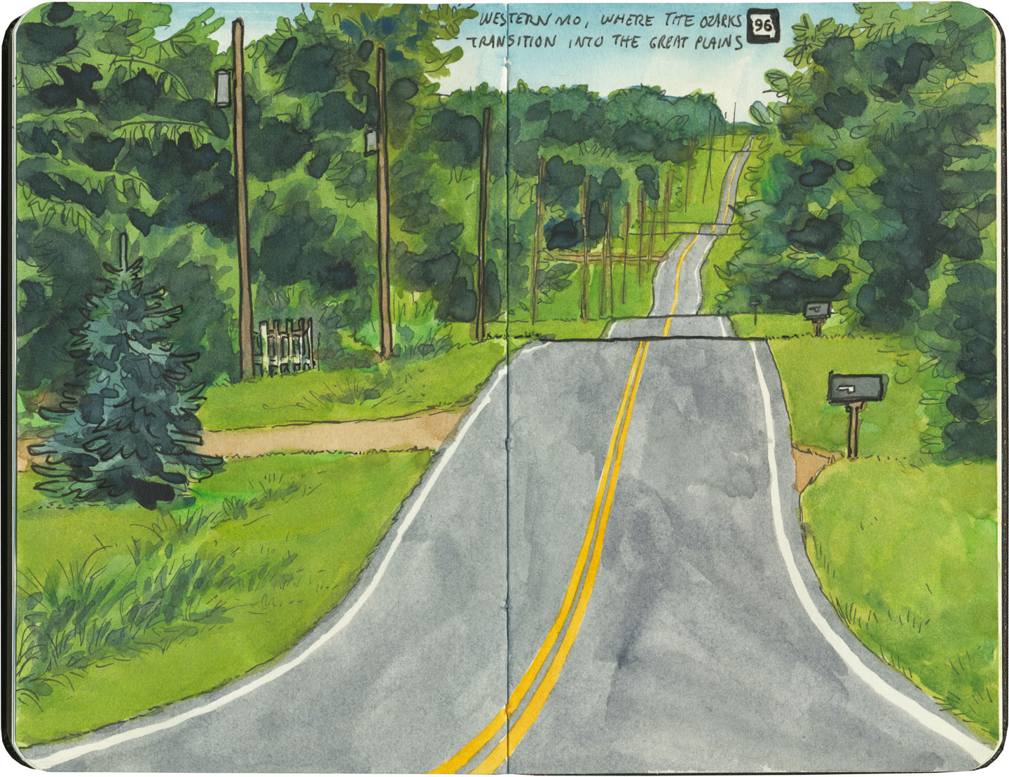
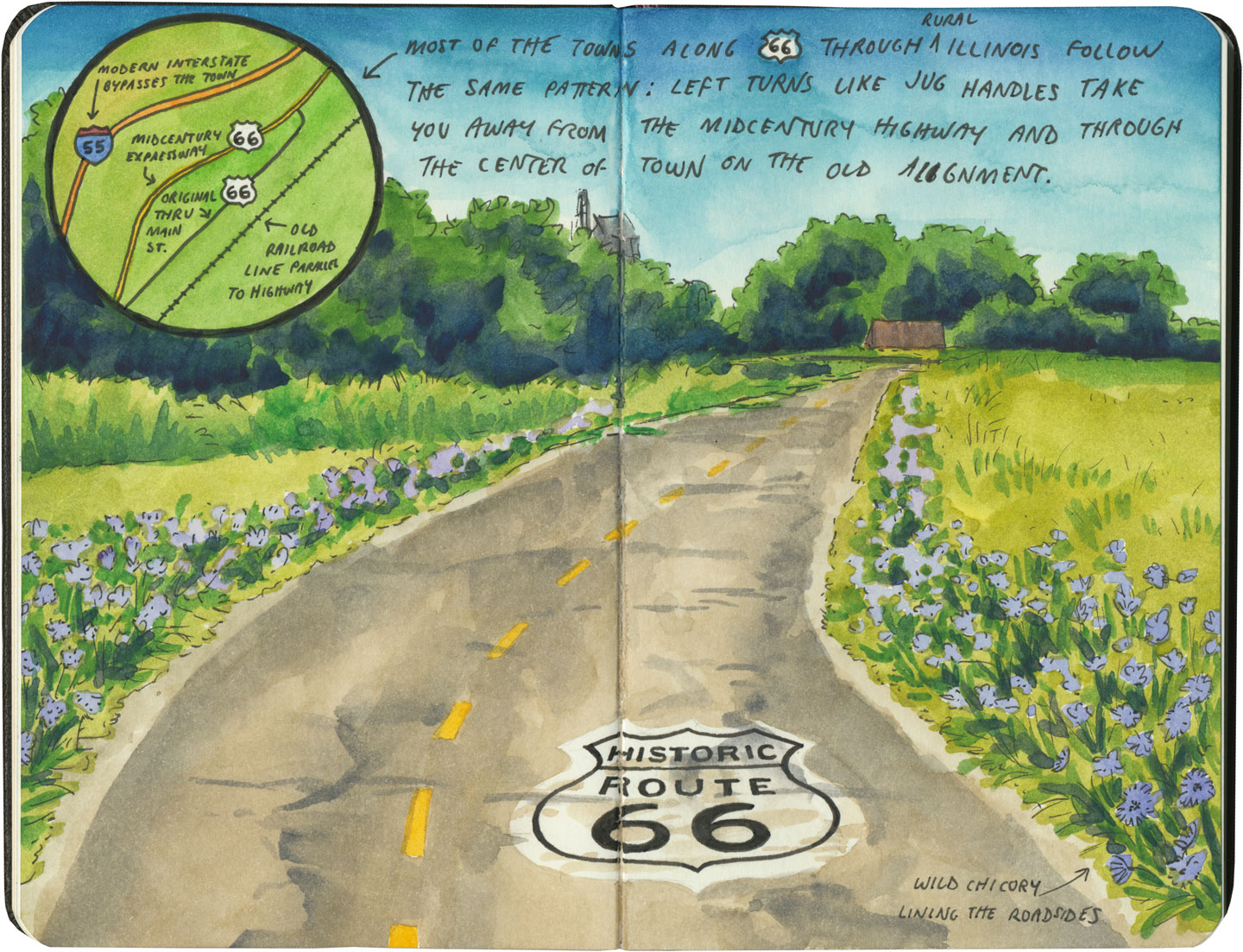
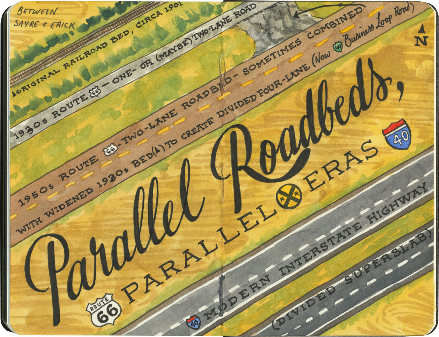
There are many places along Route 66 where you can see this progression of transportation history unfold before your very eyes. In flat places like central Illinois or eastern Oklahoma, there was no reason to reuse the same roadbed over and over again—they had all the land in the world at their disposal, and nothing to impede their path. So they simply built the new road alongside the old—over and over again.
Route 66 sketch by Chandler O'Leary

The result is a network of parallel lines, each wider than the last, each laid down at a different point in recent history. In these places, the land acts like a palimpsest, marked over and over again with new traceries of roadbeds, while the old ones, though crumbling in disrepair, still remain visible.

Route 66 sketch by Chandler O'Leary

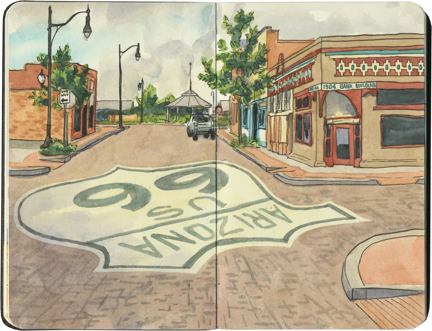
Since Route 66 was decommissioned as an official national highway, there are places where it’s difficult to discern the original route. The old roadbed might be there, but the Mother Road can get lost amid a modern tangle of frontage roads, diversions, and replaced pavement.
Route 66 sketch by Chandler O'Leary

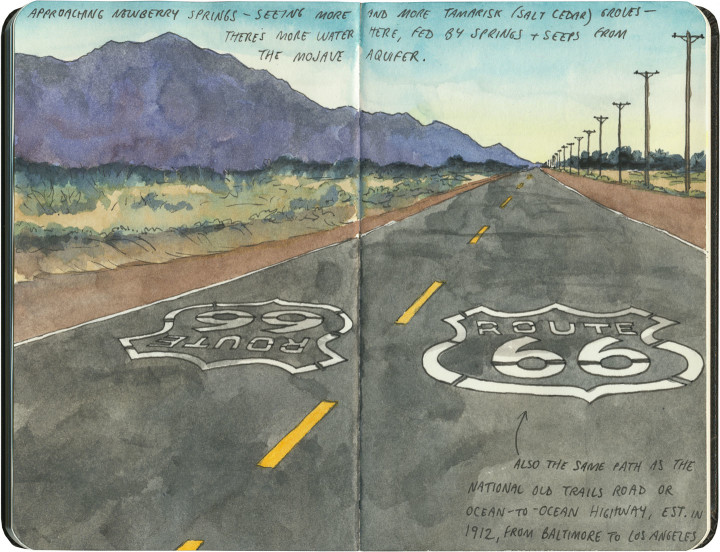
Part of the joy of traveling Route 66 is learning to recognize the old road. In some places, the path is lit up like a beacon with painted pavement and restored waymarking…

Route 66 sketch by Chandler O'Leary

…in others, tracing the original marks on the palimpsest becomes something of a quest.
Route 66 sketch by Chandler O'Leary

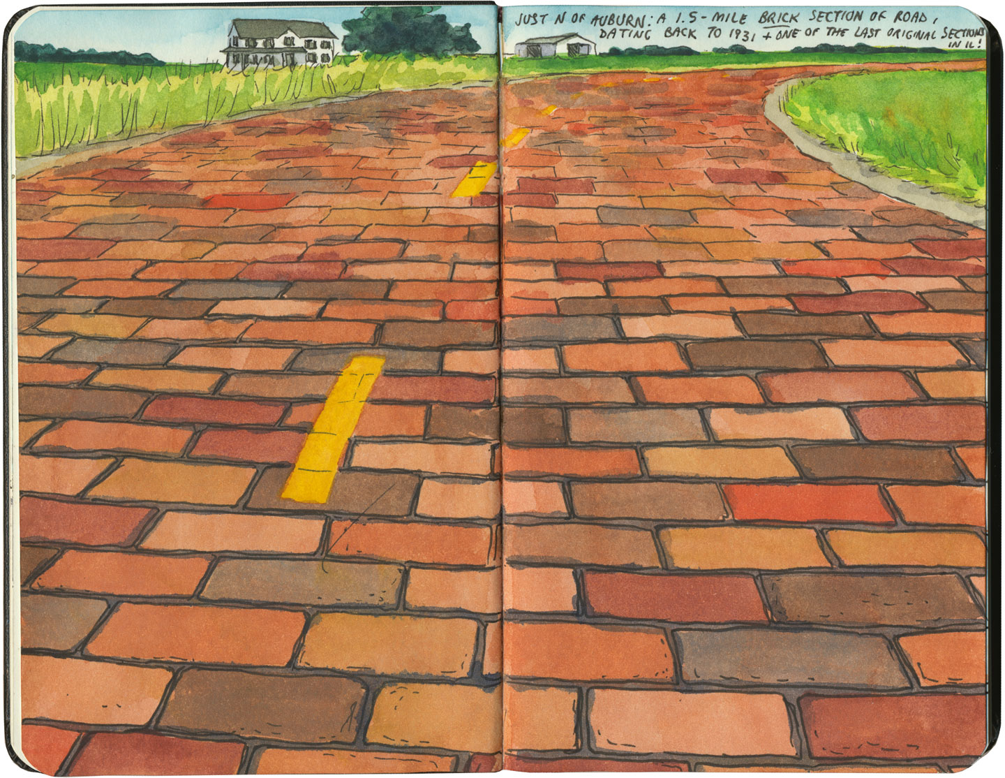
And then there are the places where the original pavement itself becomes the attraction along the way—like this gorgeous stretch of brick roadway in Illinois, paid for in the 1930s by a brick magnate and lovingly maintained as a curious relic of the past.
Route 66 sketch by Chandler O'Leary

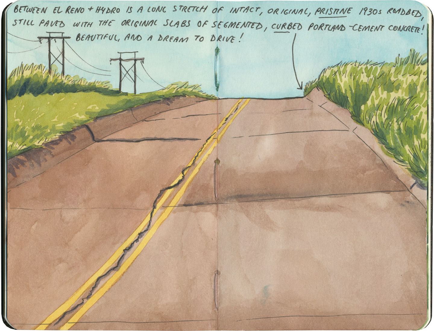
My favorite of all was the long section of 66 that traverses central Oklahoma: the combination of good craftsmanship and a remote locale has preserved the original roadbed impeccably. It sounds nerdy to say it out loud, but I dare any 66 enthusiast not to feel a thrill when seeing that curbed Portland cement.
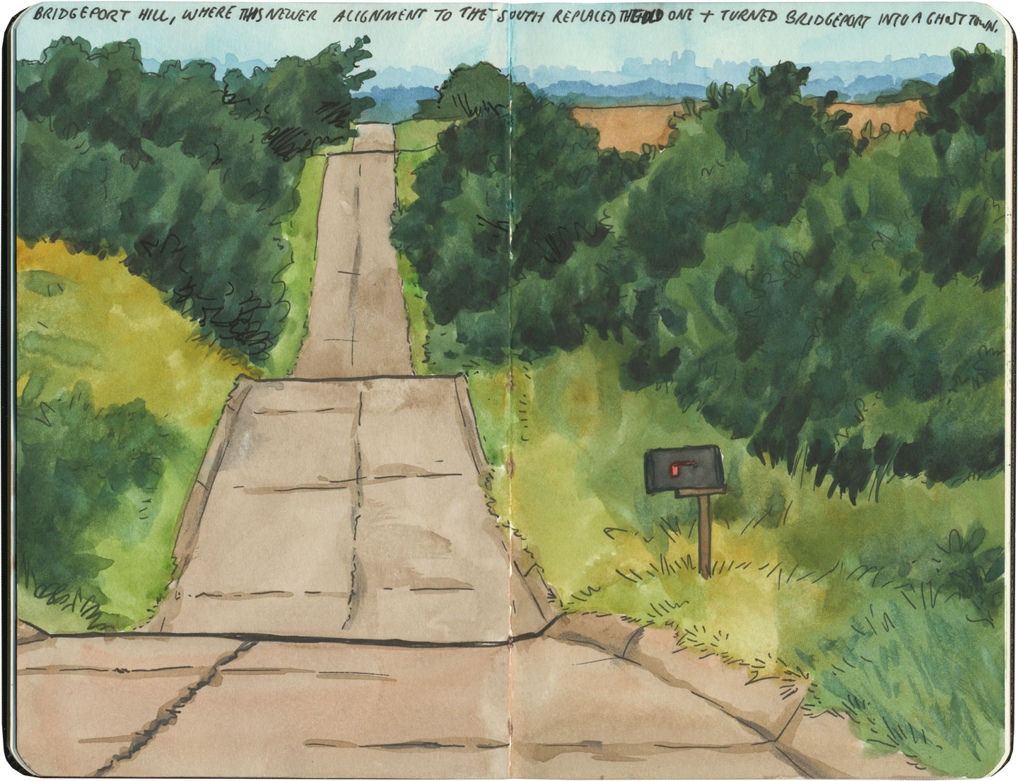
Route 66 sketch by Chandler O'Leary

By the end of our journey, we’d gotten really good at spotting the difference between old and new along the way. And whenever we lost the thread of the route (easily done, since there are so many alignments, many of which have been replaced or buried under modern roads), it became easier and easier to spot the hints that would lead us back to the Mother Road.
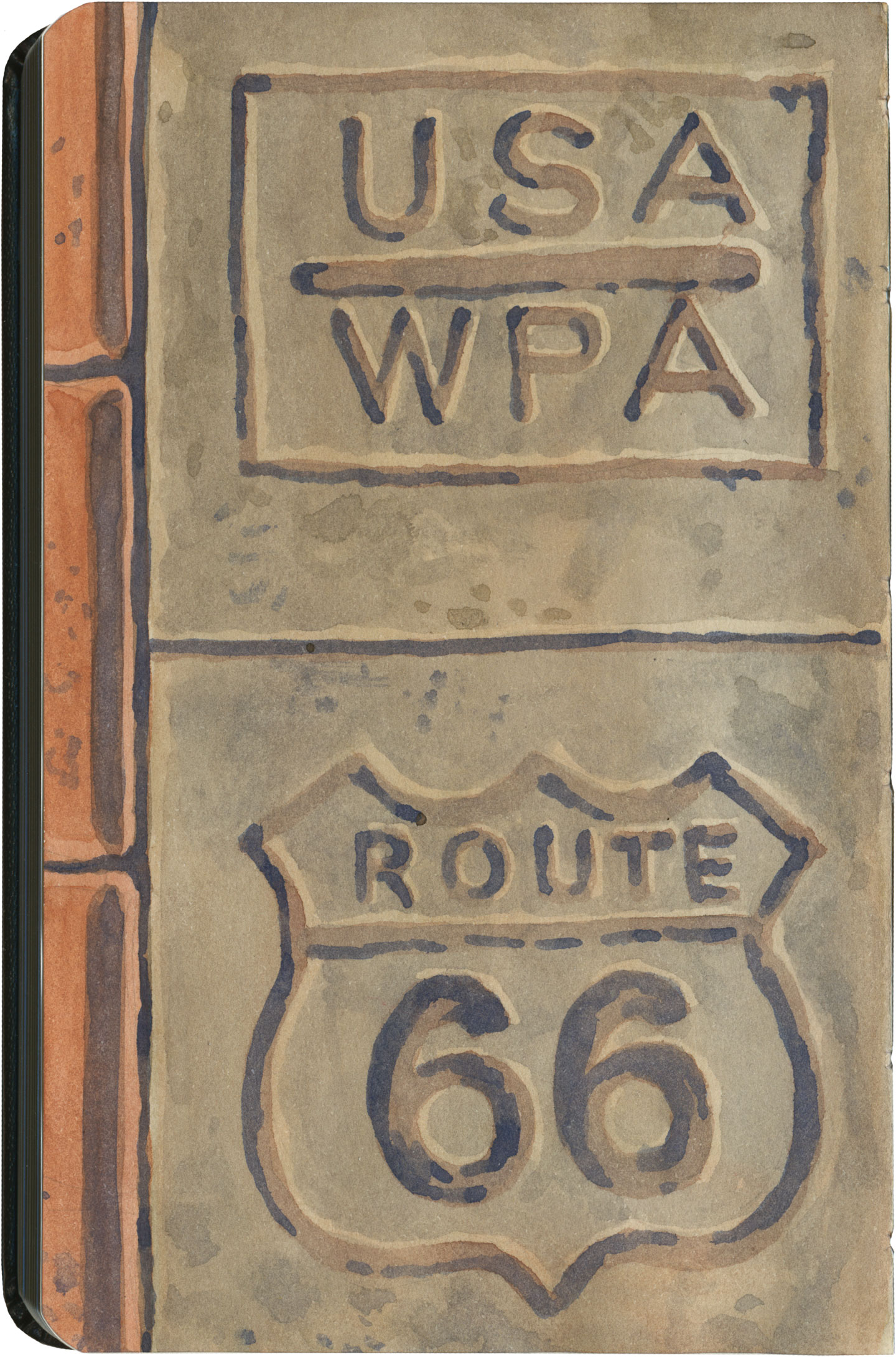
Route 66 sketch by Chandler O'Leary

What led me to travel Route 66 was a love of history and Americana, and a desire to travel a well-worn and well-loved path. I had no idea that it would be so much more—and something much closer to the feeling of solving a mystery. Beyond the fun of diners and neon, there’s a richer, subtler 66 to be discovered, if you’re willing to look a little deeper. All the clues are there—some of them stamped right into the pavement underfoot.

Save

Save

Save

Save

Save

Save

Save

Save

Save
Route 66 sketch by Chandler O'Leary

Roadside ziggurat

This post is part of an ongoing series called 66 Fridays, which explores the wonders of old Route 66. Click on the preceding “66 Fridays” link to view all posts in the series, or visit the initial overview post here.

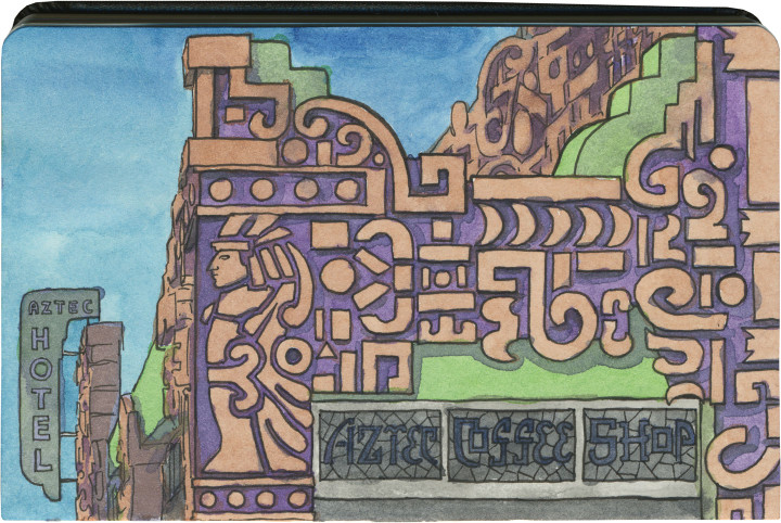
Here’s a unique one. If you drive Route 66 through the seemingly unending sprawl of greater Los Angeles, you’ll pass an ornate oddment around the halfway point of the Valley. The place is called the Aztec Hotel, and it’s apparently one of the best (and only) still-standing examples of Mayan-Revival architecture.

Did you know that was a thing? Me, neither.

Route 66 sketch by Chandler O'Leary

Nevermind that the Aztecs and Mayans were two completely different cultures, and the implications of approximating either or both in America—whatever your opinion of the genre, the Aztec Hotel’s unique relief work is quite a beauty. And amazingly, the “Mayan” style dovetails beautifully with the Art Deco era in which this place was built.

The Aztec is currently closed, but rumor has it that the building is owned by a Chinese investor, who is supposedly fixing the place up with plans to reopen in the near future. I really hope that’s the case, because based on vintage photos I’ve seen of the interior, I’m dying to get in there with my sketchbook.

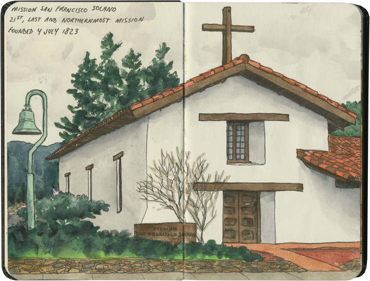
Mission San Francisco Solano sketch by Chandler O'Leary

Mission: Accomplished

This is the twenty-first and final installment of my Mission Mondays series, exploring all 21 Spanish Missions along the California coast. You can read more about this series, and see a sketch map of all the missions, at this post.

Here we are, at long last! The very last California mission, in all its (understated) glory.

Detail of California Missions map sketch by Chandler O'Leary

The northernmost mission in the Alta California system was also the very last one founded—fitting, since the while the missions in the middle are a jumble of out-of-sequence dates, the southernmost was also the first.

Mission San Francisco Solano sketch by Chandler O'Leary

Mission San Francisco Solano is located at the center of the town of Sonoma, California’s famous wine-country gem. In fact, the first vineyard in Sonoma Valley was planted by the mission priests, for producing their own sacramental wine. And every October there is still a “blessing of the grapes” ceremony on site.

Mission San Francisco Solano sketch by Chandler O'Leary

In 1835 the mission was deconsecrated, and Commander Mariano Vallejo turned much of the site into a military garrison to defend the interests of the newly-independent country of Mexico (Alta California was part of the Viceroyalty of New Spain until 1821, and wasn’t ceded to the U.S. until the 1848 Treaty of Guadalupe Hidalgo). In the intervening years, the property was abandoned, fell into serious disrepair, and over time was gradually restored.

Mission San Francisco Solano sketch by Chandler O'Leary

Today the mission is just one historic property among many in Sonoma, kitty-corner to the town plaza and surrounded by tidy streets and upscale shops. It’s hard to imagine what it must have been like before the valley was populated with modern residents and tourists—but it’s not hard to find the spirit of the place, and fall into a contemplative silence.

• • • • • • • • • • • • • • • • • • • • • • • • • • • • • • • • • • • • • • • • • • • • • • • • • • • • • •

That’s it! I hope you’ve enjoyed this virtual road trip with me. Now that we’ve visited all 21 missions, maybe it’s worth looking back at how far we’ve come. Here’s that map again:

California Missions map sketch by Chandler O'Leary

And a list of all the posts for each site:

MIssion San Diego de Alcalá
Mission San Luis Rey de Francia
Mission San Juan Capistrano
Mission San Gabriel Arcángel
Mission San Fernando Rey de España
Mission San Buenaventura
Mission Santa Barbara
Mission Santa Inés
Mission La Purísima Concepción
Mission San Luis Obispo de Tolosa
Mission San Miguel Arcángel
Mission San Antonio de Padua
Mission Nuestra Señora de la Soledad
Mission San Carlos Borroméo del Río Carmelo
Mission San Juan Bautista
Mission de la Exaltación de la Santa Cruz
Mission Santa Clara de Asís
Mission San José
Mission San Francisco de Asís
Mission San Rafael Arcángel
Mission San Francisco Solano

Because I love travel stats, here are a few:

Miles traveled: Well, not counting the 1200 miles between San Diego and my house, nor any of the non-mission-related side trips I took along the way, I drove approximately 925 miles just between the 21 missions (I know my map says 600 miles, but modern highway routes and some required back-and-forth affected the actual driving distance).

Time period in which missions were founded: Between 1769 (San Diego) and 1823 (San Francisco Solano).

Number of missions where all or most of the structure is a 20th-century replica: 7 (All but one of those are in the northern half of the chain.)

Number of missions that still have consecrated churches or chapels on site: 18 (La Purísima, Santa Cruz and San Francisco Solano do not.)

Number of times I didn’t see a mission from the inside: 5 (Two were closed when I got there, one was in the middle of mass, one had a wedding going on, and another was hosting a quinceañera.)

Most touristy: San Juan Capistrano had the gift shop and theme-town thing down, but I saw the greatest number of actual tourists at Santa Barbara. There were gobs and gobs of them.

Least touristy: San Antonio de Padua, where I was the only one there—though La Soledad was a close second, most likely because it’s literally in a farm field and nearly unmarked.

Most underrated: This one’s hard, because almost all of them are underrated in some way. But I’m going to go with San Miguel, because it’s such a stunning place, and the adjacent freeway just sends people flying right on by.

Best architecture: Tie between San Juan Capistrano and Mission Carmel, but with a special shout-out to the Moorish design of San Gabriel—and to the folks at Mission San Jose for being sticklers in choosing a period-authentic replica over a glitzy showpiece.

Overall favorite mission: La Purísima. Hands down. But the runner-up remains San Juan Bautista, which was my first love.

Final thoughts:

The thing that most struck me is the contrast between the missions—not only the various architectural styles, but the varying states of repair and disrepair. I would love to see an integrated system like the National Parks System has, encouraging tourists to visit all 21 missions and share a common pool of resources, staff and funding for upkeep and repairs.

Whatever system there may or may not be in future, it doesn’t change the fact that all of the missions are worth visiting and preserving. I’d do the whole trip again in a heartbeat—and I hope I get the chance to do just that, someday.

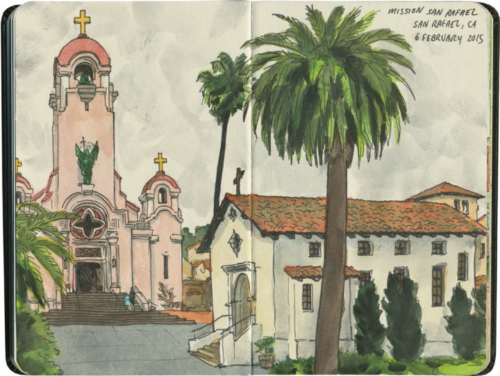
Mission San Rafael Arcángel sketch by Chandler O'Leary

Pretty in pink

This is the twentieth installment of my Mission Mondays series, exploring all 21 Spanish Missions along the California coast. You can read more about this series, and see a sketch map of all the missions, at this post.

This is yet another replica mission—making it compare less favorably to places like San Francisco or San Juan Capistrano, and one of the least visited in the chain. In fact, when I later had dinner with a local and told him what I’d done that day, he said, “Yeah, but it’s been totally rebuilt, so it hardly counts.” Well, fair enough. Still, I’m a completist, so here we are.

Detail of California Missions map sketch by Chandler O'Leary

Mission San Rafael Arcángel completes the trio of missions named for the three arcangels (Gabriel, Michael and Raphael). Originally it was built as an asistencia or sub-mission (there are still several sub-missions still standing, but I didn’t visit any of them—it was hard enough to get to the 21 main missions!), but it was “upgraded” to full mission status in 1822.

Mission San Rafael Arcángel sketch by Chandler O'Leary

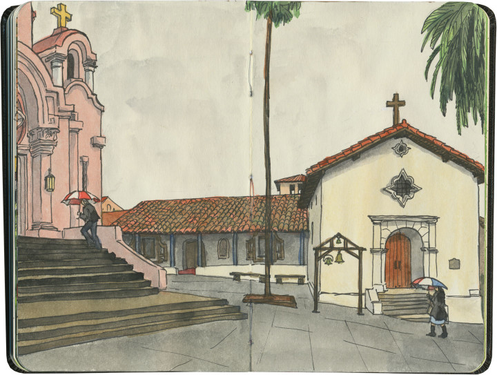
The pink tower of St. Raphael’s Church is the most eye-catching feature of the complex, but what’s more interesting to me is that the mission served as (what would become) Marin County’s first hospital. Taking advantage of the superior air quality to that of San Francisco, San Rafael was organized as a sanitarium for the local Indigenous tribes.

Mission San Rafael Arcángel sketch by Chandler O'Leary

Sadly, there’s really no trace of the original mission left today—which makes the old wall at Santa Cruz seem like precious treasure. The current buildings are twentieth-century replicas, and not even the layout of the original complex has been preserved. So I can see where my local acquaintance was coming from, I guess. Still, I can’t write the place off entirely—whatever form it takes, it’s a link to California’s past.

Mission San Rafael Arcángel sketch by Chandler O'Leary

As far as I’m concerned, it still counts.

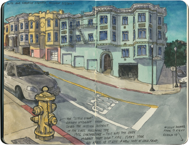
San Francisco sketch by Chandler O'Leary

Little Giant

Just a couple of blocks from Mission Dolores is a tiny, inanimate hero—one that saved the Mission District from ruin over a century ago. The story of San Francisco’s 1906 earthquake is a famous one, but not everyone knows that it’s actually the fire which immediately followed that did most of the damage. With the water mains broken by the quake, most of the city’s hydrants ran dry, allowing the fire to take out whole neighborhoods. In the end 80 percent of the city was destroyed.

In the Mission District, just one hydrant was miraculously still working: the one at 20th and Church Streets. The problem was that the hydrant was perched near the top of the hill, high above the horse-drawn fire wagons stationed along Market Street. The exhausted horses couldn’t pull the wagons up to the hydrant—so the hundreds of refugees gathered across the street in Dolores Park pitched in to help, pulling and pushing the wagons uphill by hand. The entire neighborhood fought the flames when they reached 20th Street, and after a seven hour battle, the Mission District declared victory. And to this day, every April 18 at 5:12 am (the date and time of the 1906 quake), the descendants of those who were there meet to give the “Little Giant” a fresh coat of gold paint.

It’s a great story, full of swashbuckling detail—much of which I’ve had to leave out for the sake of brevity. So I’ll just leave you with my favorite part of the tale: with the water mains and every neighboring hydrant broken, nobody could ever explain where the water came from that kept the Little Giant up and running.

Mission San Francisco de Asís sketch by Chandler O'Leary

Pillar of the community

This is the nineteenth installment of my Mission Mondays series, exploring all 21 Spanish Missions along the California coast. You can read more about this series, and see a sketch map of all the missions, at this post.

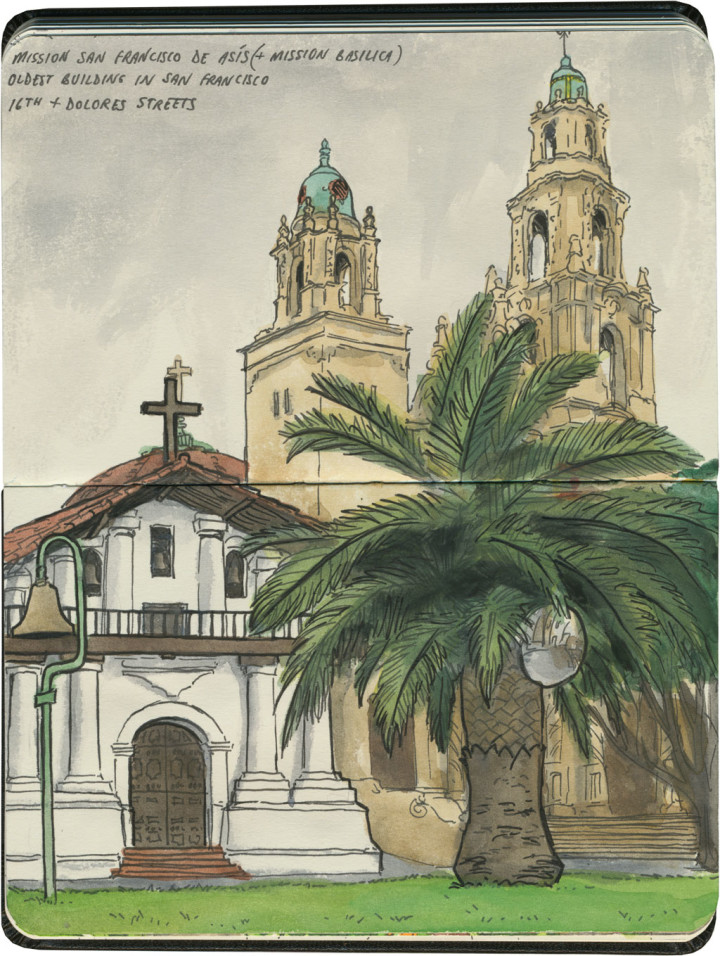
Mission San Francisco de Asís (or Mission Dolores, if you prefer the nickname) is the centerpiece and namesake of San Francisco’s Mission neighborhood. Yet the mission itself, tucked away on a residential block, behind towering palms and ficus trees, seems to get lost amid all the trendy restaurants and busy hipsters flooding the rest of the neighborhood. It’s even overshadowed by the tall spires of the basilica next door—many people don’t even know that the squat adobe building is the actual mission, not the towering cathedral.

Detail of California Missions map sketch by Chandler O'Leary

As an aside, I did this one out of order… as I happened to be in the Bay Area at the beginning of my trip, rather than the end, I did the last three missions first, in reverse order.

Mission San Francisco de Asís sketch by Chandler O'Leary

This is one mission I knew well—at least from the outside. Every time I’m in San Francisco, I end up with errands to run, or people to see, or at least a route that takes me through this neighborhood. So Mission Dolores has gone from familiar landmark to old friend. The interior was a mystery to me, though, and it took all of three seconds to know I’d found a hidden gem. I stepped one foot inside—

Mission San Francisco de Asís sketch by Chandler O'Leary

—and that ceiling just took my breath away.

Mission San Francisco de Asís sketch by Chandler O'Leary

The mission chapel is no longer a consecrated church, but it still deserves plenty of reverence. After all, Mission Dolores is the oldest intact building in San Francisco—which, considering the devastation of the 1906 earthquake (not to mention all those other destroyed missions), is really saying something.

Mission San Francisco de Asís sketch by Chandler O'Leary

So if you find yourself in San Francisco, on your way to Tartine (come on, I know I’m not the only one), stop here first. I promise it’ll be worth the detour—and I can’t think of a better place to pay homage to the City by the Bay.