Tag Archives: Highway 101

Greetings from the Best Coast

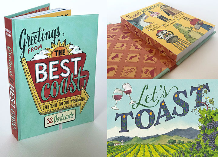
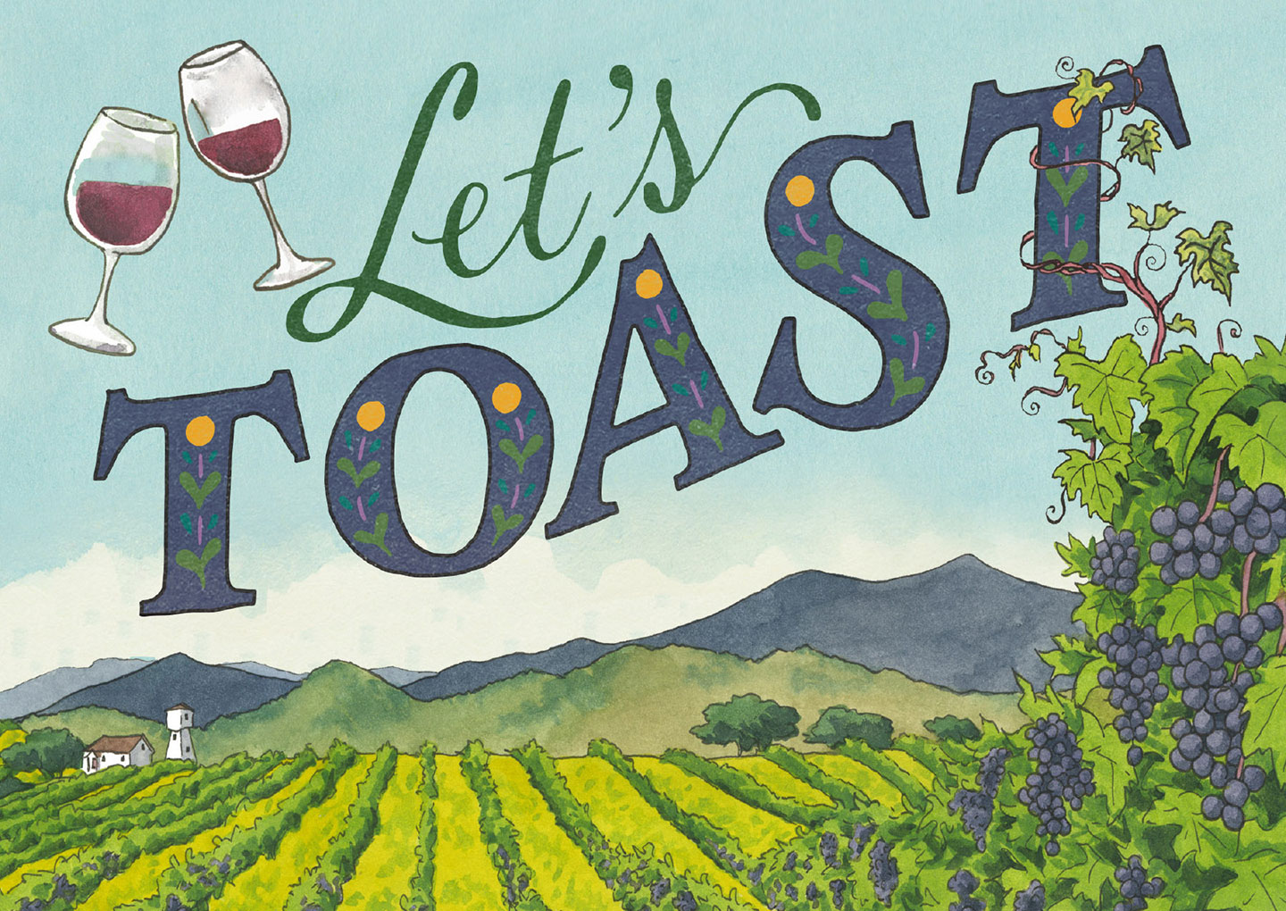
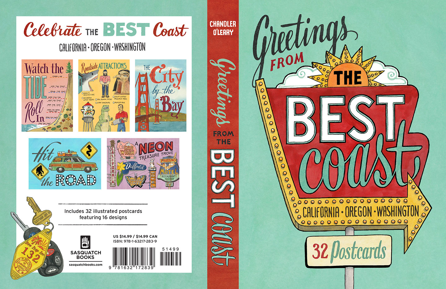
Greetings from the [Quarantined] Coast! Hoping this finds you safe and well, and staying home to help “flatten the curve” of the virus that is suddenly everywhere at once. Here in Washington we’re sheltering in place—and as fate would have it, today I am celebrating (from home) the release date of my newest book! Greetings from the Best Coast is a companion book of postcards to my popular Best Coast book—a gift for fellow travelers or a whole packet of instant travel souvenirs.

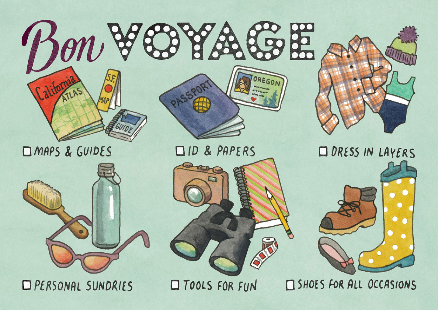
Postcard excerpt from "Greetings from the Best Coast" book of 32 postcards by Chandler O'Leary, published by Sasquatch Books

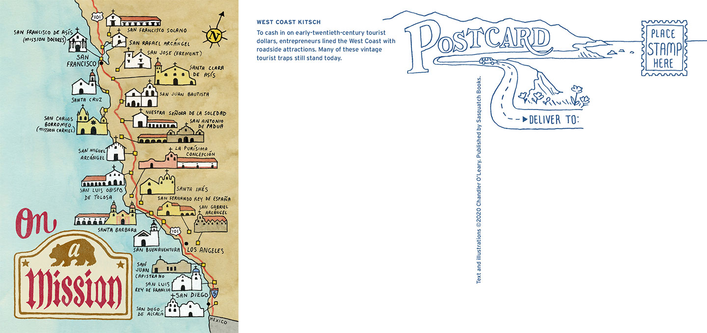
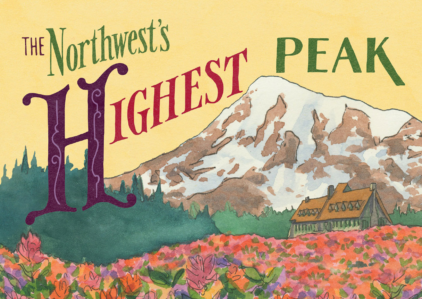
I was hoping to be able to unveil this news in a snazzier fashion (like at one of my many now-cancelled events, thanks to the ‘rona). Still, it feels so great to see this little book in person! The book contains 32 illustrated postcards (2 each of 16 designs) with quintessentially West Coast scenes and hand-lettering. They’re perfect for bringing along on your next road trip to mail souvenirs from the road (or from the comfort of your reading nook), for sending an invitation to join you on your next adventure, or for presenting the whole book as a gift to your favorite travel companion.

Postcard excerpt from "Greetings from the Best Coast" book of 32 postcards by Chandler O'Leary, published by Sasquatch Books

Sasquatch Books, as usual, did a beautiful job of creating an appealing package, with a gorgeous hardcover (with illustrated endsheets! My nerdy heart is all aflutter) wrapped around the stack of postcards inside.

Postcard excerpt from "Greetings from the Best Coast" book of 32 postcards by Chandler O'Leary, published by Sasquatch Books

Since we are all armchair travelers right now, I am planning to mail these to friends and family around the country—as a fun memento of trips past and in hopes of being able to travel again someday in the future, when we get to the other side of this crisis.

Postcard excerpt from "Greetings from the Best Coast" book of 32 postcards by Chandler O'Leary, published by Sasquatch Books

Major thanks to the team at Sasquatch for making these postcards a reality—especially to my amazing editor Hannah Elnan, and the brilliant art director, Anna Goldstein. If you’d like your own copy, you can find it in the shop!

"Greetings from the Best Coast" book of 32 postcards by Chandler O'Leary, published by Sasquatch Books

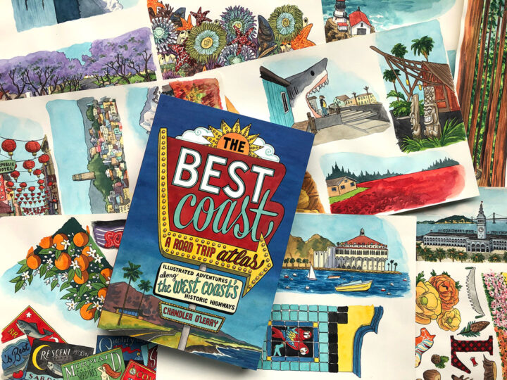
Book cover and process images from "The Best Coast" book written & illustrated by Chandler O'Leary, published by Sasquatch Books

Today’s the day!

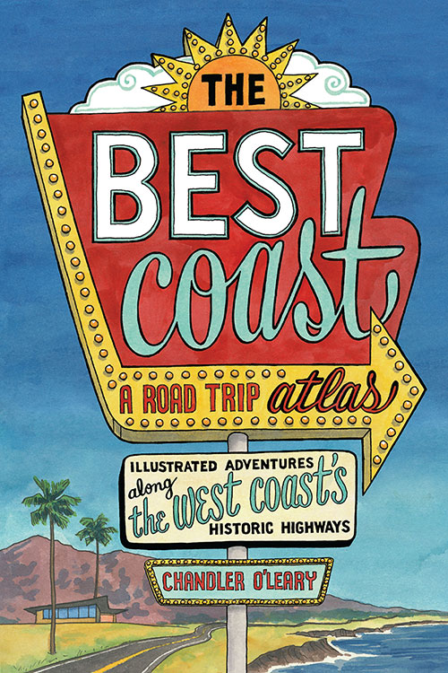
Today is the “book birthday” of The Best Coast: A Road Trip Atlas! After nearly three years of work and a solid decade of research, I can’t believe this day is here. I am so excited to share this labor of love with you, and I hope you’ll love it, too. With 99 hand-drawn maps, more than 400 full-color illustrations, and several hundred more illustrated icons, vignettes, and hand-lettered type treatments, it’ll give you plenty to sink your teeth into for your next road trip!

I owe a boatload of thanks to Sasquatch Books for making this book both a reality and a thing of beauty—especially to Anna Goldstein and her design team, and my longtime editor, Hannah Elnan. And thanks also to the indie bookstores and West Coast museums, restaurants, travel boutiques and souvenir shops that have championed this book—thanks to them, I can say not only can you find it “wherever books are sold,” but in all sorts of wonderful places, all up and down the Best Coast!

Happy reading, and happy travels!

UPDATE, March 2020: You can now also find signed copies in my web shop!

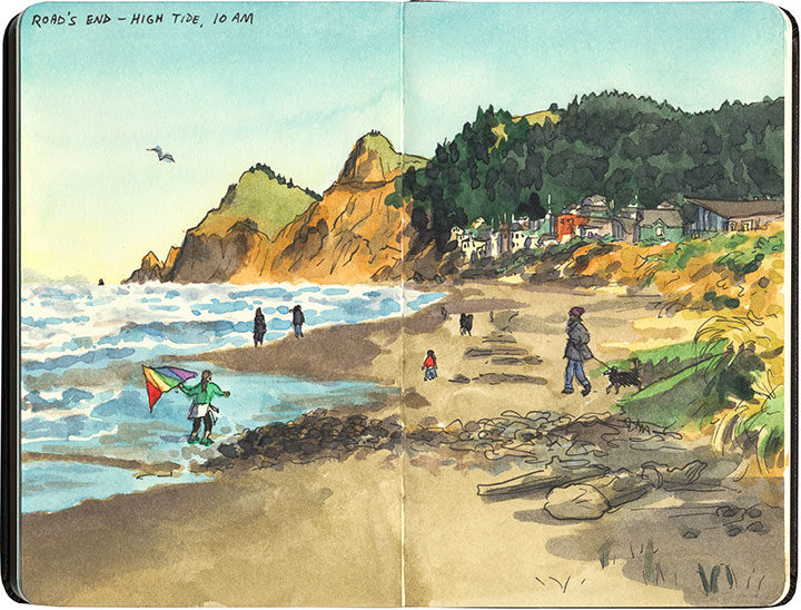
Lincoln City sketch by Chandler O'Leary

Beachcomber’s sketchbook

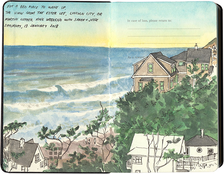
Just over a year ago, the Tailor and I met a couple of good friends for a long weekend on the Oregon Coast. Our friends live in San Francisco, so Lincoln City was almost exactly the midpoint between us. And besides, we had an ulterior motive: we wanted to search the beaches for hidden treasure.

Lincoln City sketch by Chandler O'Leary

Well, we didn’t end up finding much on the beach beyond pretty agate pebbles and a few shells, but the time spent catching up with friends, basking in the views, and filling sketchbooks was priceless.

"The Best Coast" book by Chandler O'Leary

The Best Coast

While I’ve hinted at this several times on social media, and even shown some snippets of my process along the way, mostly I’ve been sitting on my hands lately, trying my best to keep mum while I wait for time to tick by. And now the waiting is almost over, and it’s time for the big reveal of my new book!

At long last, The Best Coast: A Road Trip Atlas is almost here! This book—an entirely illustrated travel guide to the West Coast—has been a labor of love for me, spanning more than two years of work on the book itself and a solid decade of research, road trips and travel sketching. And now we’re just a little over a month away from the publication date on April 9!

I’ll be sharing a lot more here and over at my studio blog (after today, there’ll be different content in each place) in the days and weeks to come: behind-the-scenes process images, stories and sketches behind the locations featured in the book, a social media photo contest (with prizes!), and much more. And if you’re local, we’ll be throwing the official launch party right here in Tacoma:

Best Coast launch party
Wednesday, April 10, 2019
7 pm, free!
King’s Books
218 St. Helens Ave, Tacoma, WA

In the meantime, you can learn more about the book and preorder your copy on my book page! Many thanks to the team at Sasquatch Books for making this book—a dream of mine for years now—a reality! Looking forward to sharing more with you soon.

P.S. Because people always ask me, yes, preordering—as opposed to waiting until the book comes out—makes a huge difference. Books with strong preorder sales get better promotion from both the publisher and retailers, get a better ranking on huge sites like Amazon (and thus better exposure), and reach a wider audience of both customers and press outlets. So every preorder counts, and is like an extra boost of support, both for me and for your favorite retailer.

Landslide sketch by Chandler O'Leary

The long detour

I spent nearly all of April breaking in my new car with a 6500-mile road trip up and down the West Coast. I’ve done many similar trips in the past, but this one had a completely different feel to it. And that’s because the severe drought—which for more than seven years had parched California and gifted me with suspiciously perfect weather and unusually good road conditions—was over.

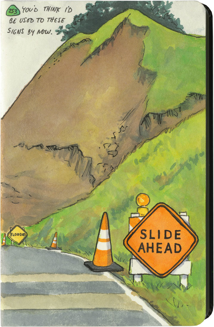
This year, California had just come out of one of its wettest winters on record. All that rain after such a long drought had brutal effects on hillsides and roadbeds all over the state. I quickly became accustomed to seeing signs like this one everywhere I went—to the point where I lost count of the number of detours, patched pavement, and in-progress landslides along my route. Over and over again I either had to make adjustments to my plans (I had to cut the Big Sur Coast out entirely, since Highway One has been closed there since February), or else take extra time to pick my way over some truly scary patches of pavement.

Landslide sketch by Chandler O'Leary

The state of affairs was so unpredictable that I got in the habit of checking road conditions on my phone a day or two ahead of each day’s planned route. On one cursory inspection, I stopped dead, my eyes widening at what I saw: Highway 101, my route through the redwoods, which happens to be the only route through the redwoods, was closed. Completely closed. No detour, the warning said.

No detour.

By this time I was familiar with the Norcal Coast—I knew that it’s pretty darn audacious of Highway 101 even to be there, what with the mountains that squeeze right up to the rugged, rain-soaked coastline. I remember driving through there in the past, marveling at the engineering required to put a road there in the first place, and being thankful that nothing had blocked my way and left me up the proverbial creek—yet I never actually looked at a map to see what kind of workaround a closure would require. Well I was about to find out.

Luckily, this little monkey wrench couldn’t have happened on a better day. This happened to be the shortest day of the trip, with just over 100 miles between hotels. And I only had one real plan for the day: to explore the Lost Coast, that rugged swath of coastline traversed only by primitive roads, where tourists feared to tread.

Nevermind—a massive rockslide just north of Leggett put paid to that plan. I still needed to get to Ferndale, though, if I wanted to honor my reservation that night and make it to the next leg of the trip. And since there was “no detour,” I scoured my maps to see just what that would mean.

Landslide detour map sketch by Chandler O'Leary

Uh, yeah. This is what it means. It means crossing back east over the mountains on State Route 20, then a trek up through nearly the entire length of the Sacramento Valley (that little Highway 99 jog was just a break to save my sanity), then back over the mountains to 101 again on State Route 36. There are no east-west highways between 20 and 36, either. This was my route, the new plan. I added up the mileage of what I’d have to do the next day: nearly 400 miles.

I set an early alarm, asked the universe to refrain from any more surprises, and went to bed.

Landslide detour sketch by Chandler O'Leary

The next day was was both beautiful and harrowing. I got to see a broad swath of the state I’d never experienced before. And I also got hit with some home truths about this modern life we all take for granted—how easy it would be for nature to knock it all right out. As I wound my way over mountain pass after mountain pass, the roads got scarier and scarier. There were places where it was obvious the hillsides were trying their best to slough off their ribbon of road—and I just hoped the mountains wouldn’t win the fight on that particular day. The very worst came near the very end, a ten-mile stretch of obviously temporary, hastily repaired state highway. The pavement was so precarious, so narrow, that they didn’t bother with a yellow stripe. And at least half of the curves were completely blind, making it necessary to do that horn-honking oh-god-oh-god-here-I-come ritual before each one.

Landslide detour sketch by Chandler O'Leary

Now, don’t get me wrong—I love mountain driving. I love curvy roads. And I love unexpected adventures. And my desire for it all is darn near insatiable. But by about the ninth hour of tortuous highway and the almost total lack of towns, services or cell signal, I’d all but lost interest in the adventure of it all. I just wanted to get there in one piece.

Lost Coast road sketch by Chandler O'Leary

When I finally did, I ended up a stone’s throw from the other end of that Lost Coast road that had been the original plan. I’d been to this spot before, and had always found that Capetown-Petrolia sign enticing and mysterious—what lay down that road, beyond that dark wall of trees?

This time, though, at the sight of all the warning signs they’d erected here (Chains required! No motorhomes! No services!), I just started laughing. Because after the day I’d just had, I could not have cared less. My curiosity had gone on strike—and in its place was a powerful desire to crawl right into bed.


Save

Save

Save

Save

Save

Save

Save

Save

Save
Prehistoric Gardens dinosaurs sketch by Chandler O'Leary

Jurassic forest

Speaking of incongruous dinosaurs, if you ever find yourself traveling up Highway 101 along the Oregon coast, you might be surprised to see a brachiosaurus head poking up through the trees. Just like the Columbia River Gorge, the Oregon rainforest isn’t a place you’ll ever find actual dinosaur fossils. Still, there’s something about the misty hillsides and impossibly tall trees that make it easy to imagine yourself standing in a primordial place.

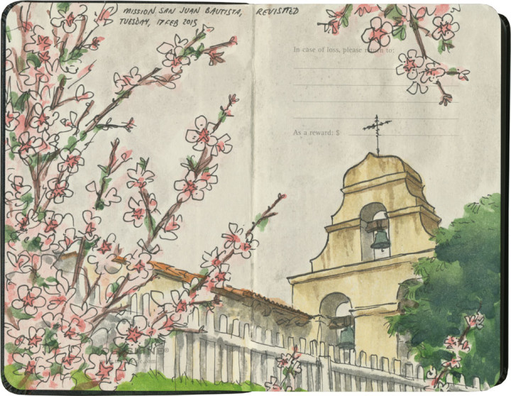
Mission San Juan Bautista sketch by Chandler O'Leary

If these walls could talk

This is the fifteenth installment of my Mission Mondays series, exploring all 21 Spanish Missions along the California coast. You can read more about this series, and see a sketch map of all the missions, at this post.

San Juan Bautista was the first mission I ever visited, more than two years ago now. It’s the one that inspired me to see all 21 of them, and even though I now have plenty to compare it to, it’s still one of my very favorites.

Detail of California Missions map sketch by Chandler O'Leary

San Juan Bautista is one of the more famous missions, thanks to its role as a film location for Alfred Hitchcock’s Vertigo. And judging by the changes it’s undergone, and the hidden details it holds, it might have the most stories to share. But it’s certainly not the oldest mission by any stretch—in fact, it was the fifteenth founded in Alta California, built well after Blessed Saint (as of this year) Junipero Serra’s death.

Mission San Juan Bautista sketch by Chandler O'Leary

The last time I visited here, it was far too early in the morning for the buildings to be open. So this time, I was eager to get inside the place. I could go on about how lovely the interior was, though with the exception of the triple-wide nave, it wasn’t so different than any of the other mission churches. The part that really slayed me, though, were the tiny animal paw prints in the tile floor! I almost missed them entirely—I dropped my pen, and when I bent to pick it up, I saw one. Apparently the tiles had been outside curing in the sun when some small dog or other had run across them. Rather than throwing out the “ruined” tiles, they just used them anyway. Such an enchanting little detail.

Mission San Juan Bautista sketch by Chandler O'Leary

The other real treat was seeing the interior courtyard garden. The plants and layout were similar to any other mission, but I loved that all the doors and windows were painted turquoise. It felt like stepping through a California doorway and emerging into a hidden pocket of Santa Fe.

Over the course of two visits, I’ve racked up a sizeable pile of sketches of San Juan Bautista. Yet somehow, it still doesn’t feel like I’m finished exploring. I have a feeling I’ll be back, and that you haven’t seen the last of this place here.