Tag Archives: farms

Cabbage field sketch by Chandler O'Leary

Cabbage patch kid

Farmland in the Puyallup Valley is becoming a precious commodity, as suburban and industrial development threaten the small vegetable farms that still cling to the valley floor. Yet for now, at least, I can still count on finding a view like this just a few minutes’ drive from my house. May it ever be so.

Palouse (autumn) sketch by Chandler O'Leary

Green to gold

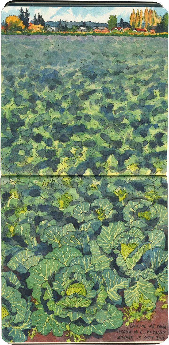
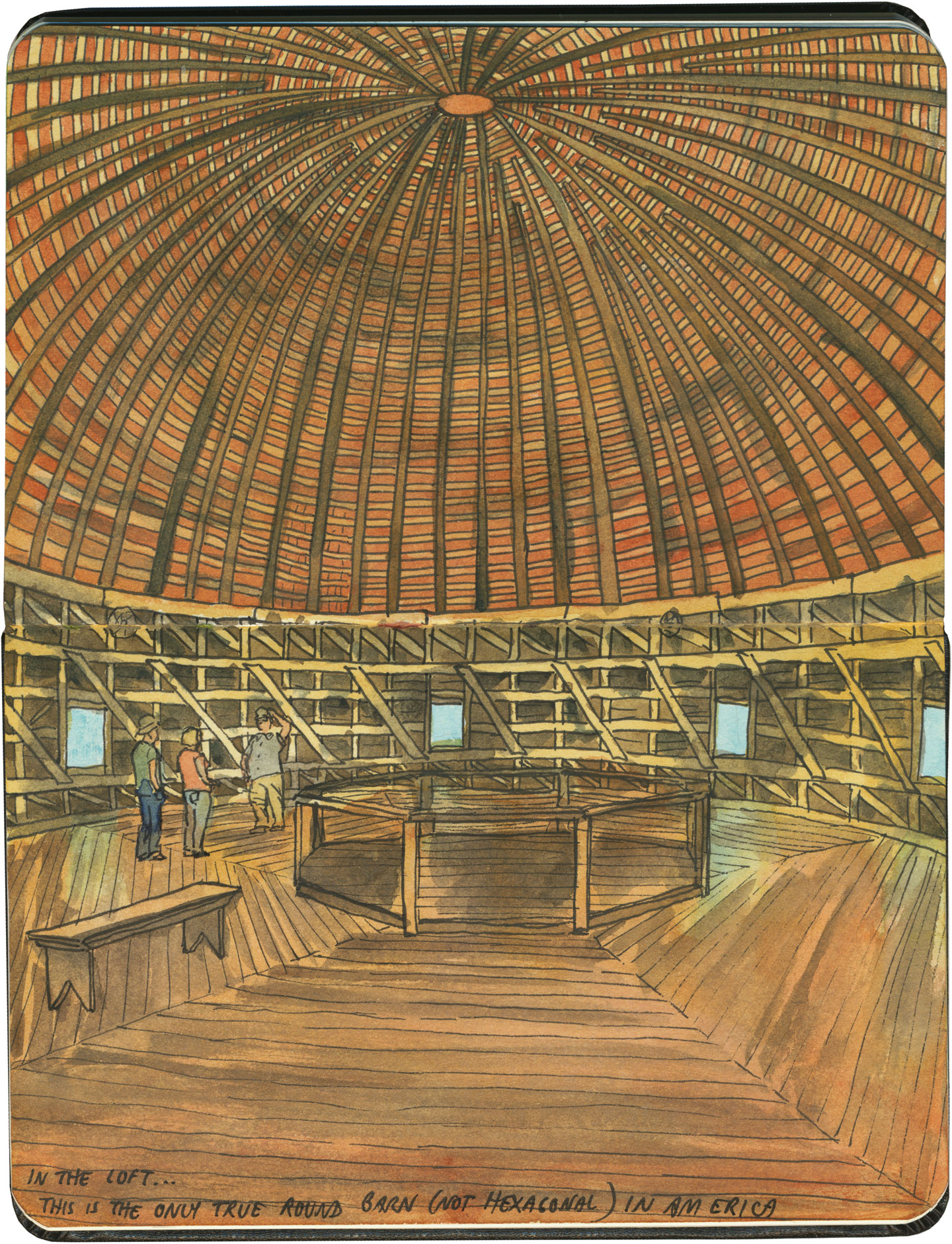
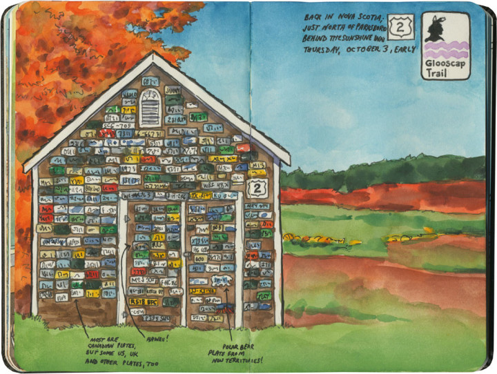
Earlier this year I received a grant to travel to the Palouse region of southeastern Washington and sketch the changing seasons there. I’m sure I’ll be posting more about this in future, as there’s a lot to say and one post can’t possibly hold it all. But just as my sketching trips were my introduction to the region, this post will act as a gateway, with more to come later.

Palouse wheat field (spring) sketch by Chandler O'Leary

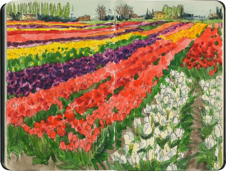
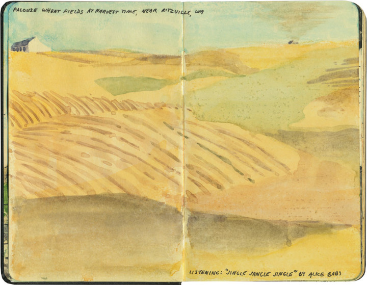
What first attracted me to the Palouse was learning about its vast, treeless, otherworldly hills—not your average rolling hills of wheat, but enormous 300-foot-tall landmasses, each carpeted in endless grain, with thin ribbons of road snaking between and around them. You already know that I have a thing for treeless landscapes, and lots of experience sketching them—but despite weeks of research and poring over very detailed maps in my gazzetteer, I just wasn’t prepared for what I’d see in person.

Palouse wheat field (autumn) sketch by Chandler O'Leary

And I figured out pretty quickly that no matter what drawings I managed to make, I was pretty much destined to fail from the outset. It’s just not possible to do this place justice, to get it down on paper with any measure of accuracy or truth. The scale alone is utterly mind-boggling—and then there’s the fact that around every curve is another perfect composition, just taunting me and my puny, weak, human artistic limitations.

Palouse barn (spring) sketch by Chandler O'Leary

Still, it was thrilling to take a stab at it—over and over again, with the luxury of plenty of time to keep trying. In the end I spent two weeks there (one week in May, when the crops were young and green, and another at harvest time in late August) and logged a total of over 4000 miles of road.

Palouse barn (autumn) sketch by Chandler O'Leary

And best of all, I can’t wait to go back—heck, I can’t wait to polish off this big pile of unfinished sketches I have waiting for me in my studio. The Palouse is a place that gets under your skin and lodges there forever. The only cure is to keep revisiting it again and again, both in the flesh and in memory. So don’t be surprised if you see a lot more wheat sketches in future: I’m just getting started.

Save

Pelindaba Lavender Farm sketch by Chandler O'Leary

Purple haze

Here in the Northwest, we’re in the thick of my favorite season right now. I don’t mean summer, per se, but lavender season. Our climate is pretty much perfectly suited to growing lavender, so other than maybe the south of France, there’s no better place to stand on a purple hillside, awash in scent.

Route 66 sketch by Chandler O'Leary

Oklahoma Pantheon

This post is part of an ongoing series called 66 Fridays, which explores the wonders of old Route 66. Click on the preceding “66 Fridays” link to view all posts in the series, or visit the initial overview post here.

Last Friday’s post was a bit of a downer, I know. So today, as we move into the Sooner State, it seems like a good idea to visit a real beauty of the Mother Road: the Arcadia Round Barn. Built out of green wood carefully bent into precise curves, the barn is the only truly round (and not polygonal) barn in America. Its unique status and beautiful proportions made it the most photographed landmark on Route 66.

Route 66 sketch by Chandler O'Leary

It was hotter than blazes in the loft, but well worth suffering the heat. Because up there, surrounded by all that curved wood and perfect geometry, it felt more like the work of a Renaissance master than a humble farmer.

Save

Mission Nuestra Senora de la Soledad sketch by Chandler O'Leary

Lonely outpost

This is the thirteenth installment of my Mission Mondays series, exploring all 21 Spanish Missions along the California coast. You can read more about this series, and see a sketch map of all the missions, at this post.

The “Soledad” in Mission Nuestra Señora de la Soledad means “solitude.” And boy howdy, is that ever accurate.

Detail of California Missions map sketch by Chandler O'Leary

The third of three missions located in the Salinas Valley, La Soledad is also the most remote. It’s not as far off of modern Highway 101 as Mission San Antonio, but it’s the farthest from civilization.

Mission Nuestra Senora de la Soledad sketch by Chandler O'Leary

In fact, even though there’s almost nothing left of the original complex (thanks to the caprice of the Salinas River)…

Mission Nuestra Senora de la Soledad sketch by Chandler O'Leary

…you really get a sense for how self-sufficient the missions had to be when they were founded.

Mission Nuestra Senora de la Soledad sketch by Chandler O'Leary

That’s because the mission is located smack in the middle of a bunch of vegetable fields. Quite literally. There’s no fanfare about the place—there’s barely even any waymarking to find it. It’s a bit of a shock, actually, after seeing mission after mission in town centers or near tourist traps.

But that’s the best part of the place: being able to stand in the shade and look out at a landscape right out of a Steinbeck novel.


Central Valley, CA sketch by Chandler O'Leary

Birdland

I’ve written about California’s Central Valley before, and I have a feeling it’ll come up again. But there are just so many things to love about the place. Perhaps the best part of all is the birdwatching.

Central Valley, CA sketch by Chandler O'Leary

The Central Valley is a main thoroughfare along the Pacific Flyway, and hosts thousands upon thousands of both migratory and native birds every year. The best time to birdwatch is in the late winter, when the valley is otherwise at its most drab. While most of the human tourists are in more “interesting” places like the coast, the avian tourists are literally flocking to the Inland Empire.

So while most folks might consider the valley to be a flyover region that’s beneath their notice, birders might just find it to be heaven on earth.

North Carolina steeples sketch by Chandler O'Leary

Steeple chase

You probably know by now that when I draw in my sketchbook, I’m usually looking to fill a whole page spread with a finished scene. Sometimes, though, that’s just not possible. On the day I made this sketch, I was riding in the back seat of a rideshare van, craning my neck to catch any details I could of the landscape. The other passengers must have thought I was nuts as I jotted down any interesting snippet we passed—but at least I can remember something (if not much) of that afternoon.

Skagit Valley tulip fields sketch by Chandler O'Leary

Color theory

Well, I got my wish. Friday morning ended up being the perfect time to visit the tulip fields. I spent the whole morning in the valley, and over an hour in just this spot.

Tulip bouquet sketch by Chandler O'Leary

And to make the moment last just a little longer, I bought a little bit of the Skagit Valley to bring home with me.

Save

Palouse sketch by Chandler O'Leary

Palouse palette

Every once in a while, I don’t even bother starting with a line drawing, and just go straight to watercolor instead. On this day, the dust being kicked up by tractors had obliterated much of the definition of objects in the scene. The result was a landscape distilled down to blocks of pure color, like a patchwork quilt.