Tag Archives: southwest

Ward Charcoal Ovens sketch by Chandler O'Leary

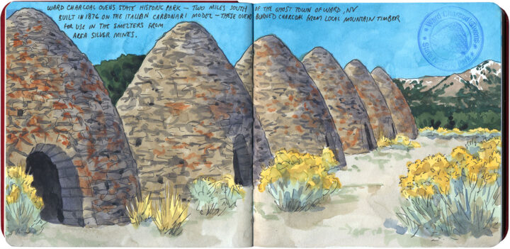
Ghost domes

This hidden gem is one that’s been on my road trip bucket list for many years, and when I drove the Loneliest Road two springs ago, I finally got my chance. These strange stone kilns have been empty for more than a century—but thanks to their sturdy construction and the desert climate, they look like they were built yesterday, and are just waiting for someone to come by and stoke the flames again.

Zion National Park sketch by Chandler O'Leary

Forgotten canyon

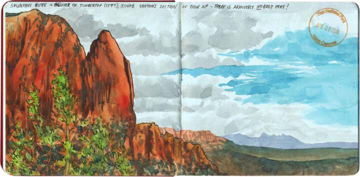
When I think of solitude on the road, I’ll admit the last place I’d associate with it is Zion National Park. In the twenty years that had passed since I first visited the park (when it was a sleepy secret), word had definitely gotten out. Nowadays Zion is a lot like the Grand Canyon: there are so many visitors that you can no longer drive the park road in your own car for most of the year, and forget any hope of a solitary moment. On my most recent visit, it worked out that I was there during spring break week for most of Utah’s colleges and universities—needless to say, I rubbed shoulders (literally! The shuttle bus was packed!) with a whole lotta fresh-faced students that day. But a kind park ranger gave me a great tip: she told me that if I wanted to escape the crowds, I should try Zion’s lesser-known sister site: the Kolob Canyons Unit, just forty miles to the northwest.

Reader, she was right. There was nobody there. Not one soul, save the ranger manning the lonely visitor center. So while the hordes teemed in Zion Canyon, I had this view all to myself. It felt like winning a trophy for braving the crowd earlier.

Grand Staircase-Escalante National Monument sketch by Chandler O'Leary

Twists and turns

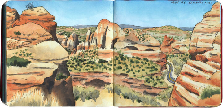
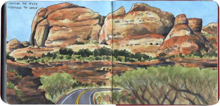
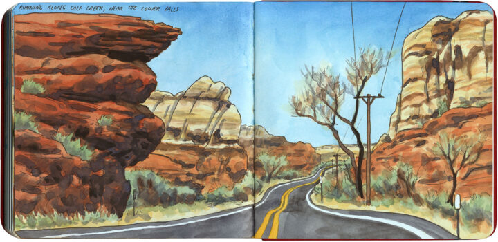
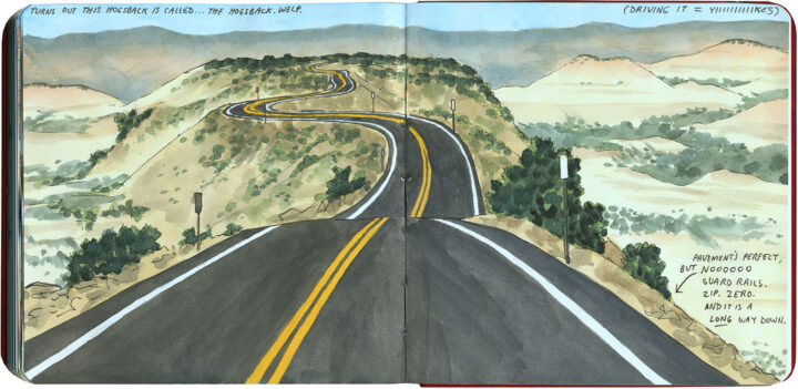
Well, it wasn’t the Loneliest Road, but I certainly had a lonely-road solo drive on the day before I crossed Nevada. I was in southeastern Utah, and I wanted to tick another highway off my road-trip bucket list: State Route 12, which cuts through part of the mostly-wilderness, sprawling, painted-desert expanse of Grand Staircase-Escalante National Monument. The highway itself, completed in 1940 by CCC road builders, is legendary—but because of its remote location, I had never managed to get there on one of my previous Southwest trips.

Grand Staircase-Escalante National Monument sketch by Chandler O'Leary

I knew the drive would have spectacular scenery,

Grand Staircase-Escalante National Monument sketch by Chandler O'Leary

and the squiggles on the map promised a fun challenge of curving blacktop.

Grand Staircase-Escalante National Monument sketch by Chandler O'Leary

And I’ve done enough winding desert drives in the Southwest to expect surprises along the way—

Sheep on Utah highway sketch by Chandler O'Leary

—but the road pulled a few fast ones on me, all the same.

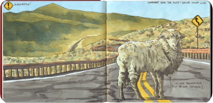
I rounded a blind curve to find this fella standing calmly on the yellow line. I screeched to a halt (and thus vindicated myself for sticking to the speed limit), stopping just a foot or two from him, and he didn’t even flinch. Didn’t even move—he made me go around to continue on my way, while he stared me down.

Still, once my heart rate returned to normal, I tried to remind myself that maybe he wasn’t interrupting my solo road trip—maybe I was interrupting his.

The Loneliest Road sketch by Chandler O'Leary

The Loneliest Road

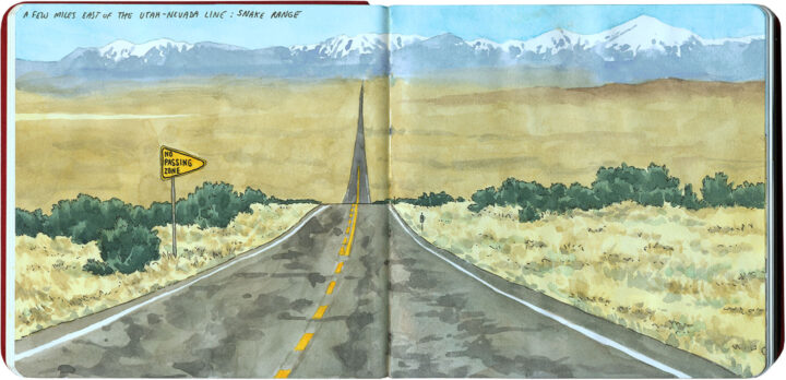
If you’re looking for a truly solo road trip experience, look no farther than the Loneliest Road: US Highway 50, where it crosses Nevada. The mostly two-lane road traverses the Great Basin desert, which consists of basin-and-range topography: wide, flat, parched valleys punctuated by parallel mountain ranges.

I wasn’t alone for the whole trip; the secret is definitely out about the Loneliest Road (thanks to Nevada tourism plugging it as a destination all its own), and there were other lookie-loos like me, as well as the occasional long-haul trucker. But because of the geography, what that translated to was little knots of traffic stuck behind trucks on the mountain passes, and then long, long stretches of empty road, like in the above drawing.

The Loneliest Road sketch by Chandler O'Leary

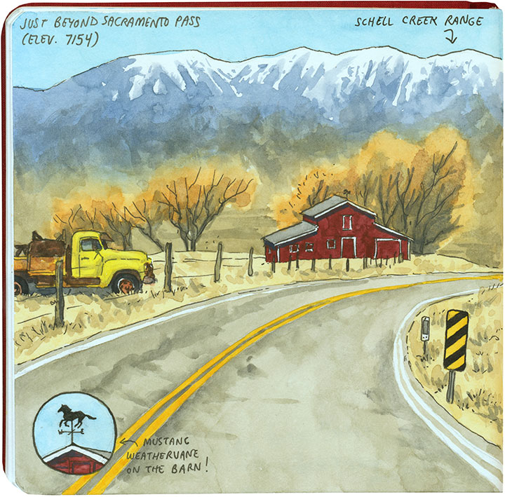
I lost count of the number of historic barns and rusted vintage pickups along the way, but that wasn’t unexpected…

The Loneliest Road sketch by Chandler O'Leary

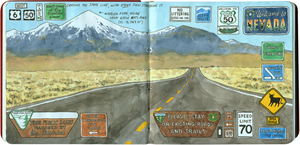
What I didn’t expect was having so much roadside reading material! I love documenting my trips through found signage, but I think this place set a record for the most verbage in one, otherwise empty, place.

Frank's Hog Stand sketch by Chandler O'Leary

Hog wild

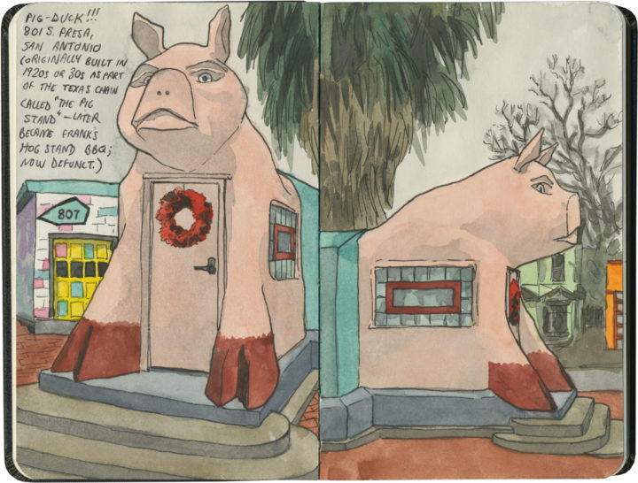
San Antonio is home to another defunct barbecue joint—but while I’m sad I can’t buy a pulled-pork sandwich here, I’m more interested in the building itself. That’s because this here pig…is actually a duck!

Now if only there were a duck-shaped duck that actually sold barbecued duck…that would be a find.

Bill Johnson's Big Apple sketch by Chandler O'Leary

Let’s eat

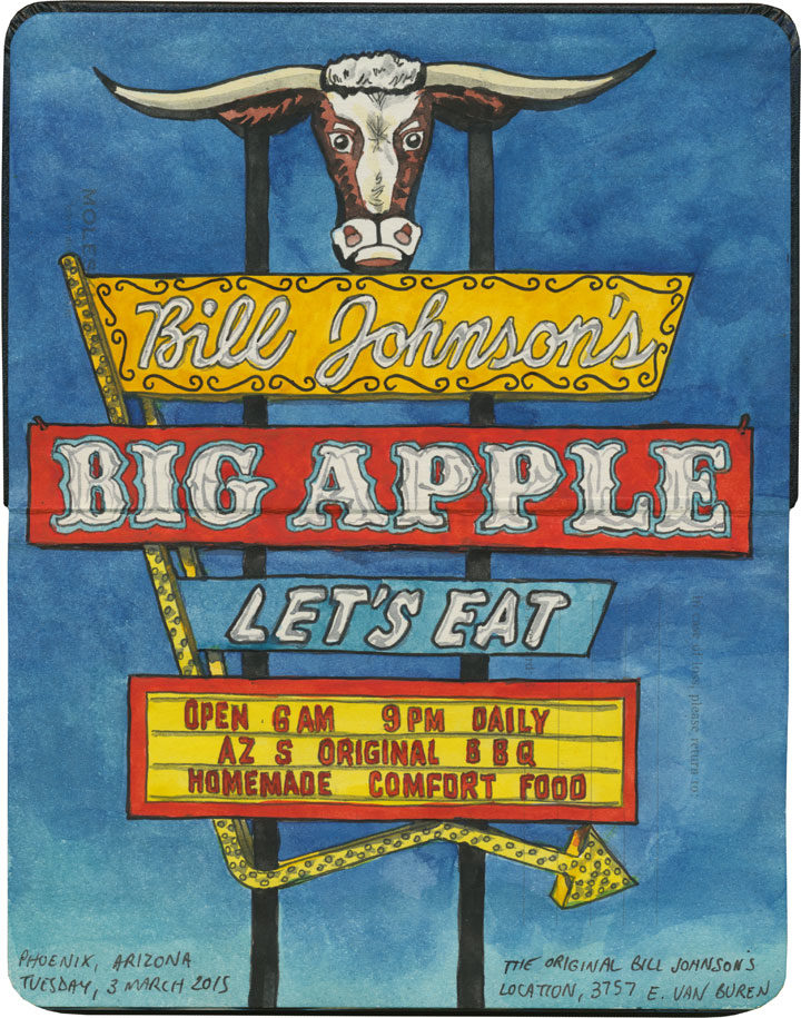
To me, nothing says the Fourth of July like good barbecue. So this week I’ll be focusing on some dern good BBQ—or at least, places where you “used to could” get it.

Bill Johnson's Big Apple sketch by Chandler O'Leary

Sadly, Bill Johnson’s, once a Phoenix fixture, closed for good just a few months after I was there.

Bill Johnson's Big Apple sketch by Chandler O'Leary

But I’m glad to know that on that day, at least, I came “hongry,” and got to eat my fill.

Wishing you a Fourth full of good eatin’ and barbecue that never ends!

Save

Route 66 sketch by Chandler O'Leary

The tourist trade

This post is part of an ongoing series called 66 Fridays, which explores the wonders of old Route 66. Click on the preceding “66 Fridays” link to view all posts in the series, or visit the initial overview post here.

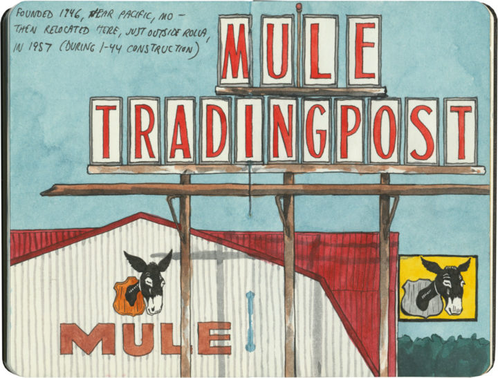
One of the grandest Route 66 traditions is the souvenir shop—or as it is more frequently named here, the trading post. And few Mother Road icons have such a long history. Starting as supply hubs and early post offices for fur traders, wagon trains, survey expeditions, gold prospectors and the like, trading posts were bastions of commerce and news in remote places.

The contemporary version of the trading post has sprung out of twentieth-century myths of the Old West: modern tourists wanted to experience a slice of the Pony Express, or send postcards from Boot Hill, or bring home a piece of Navajo jewelry—in air-conditioned comfort, of course.
Route 66 sketch by Chandler O'Leary

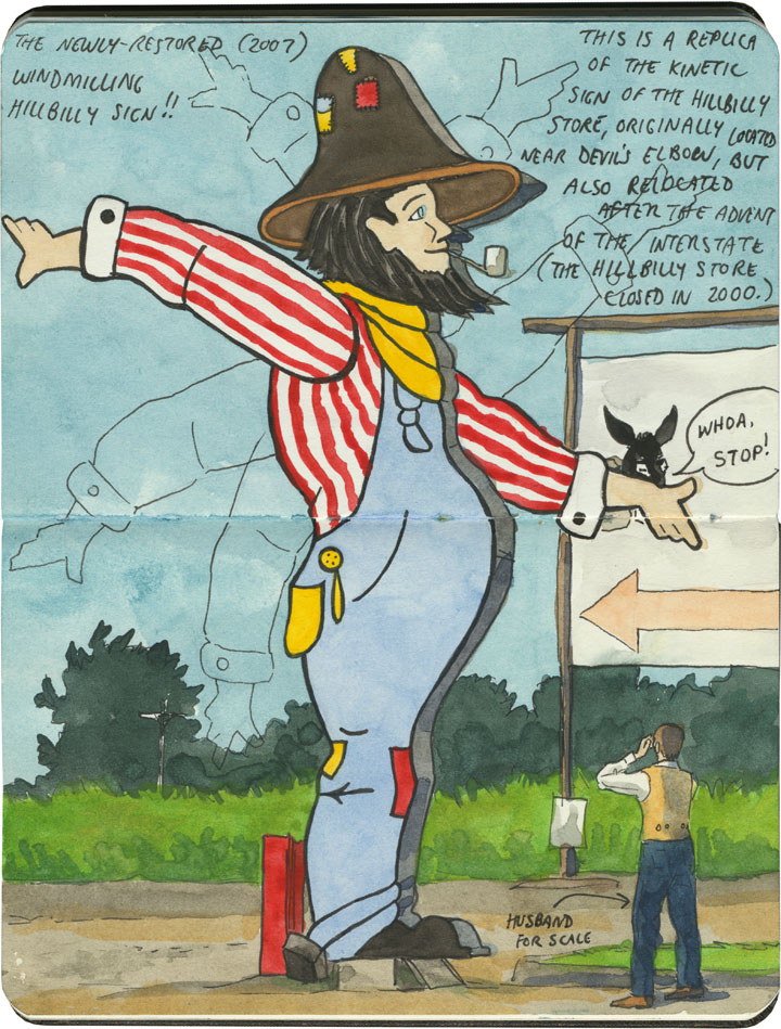
And nobody has cashed in on trading posts quite like Route 66: the Jackrabbit, the Continental Divide, Tee Pee Curios, the list goes on. On the Mother Road, the term “trading post” has become synonymous with “tourist trap”—many of these places combine commerce, entertainment and the flavor of the Wild West (or in the case above, the Hillbilly Ozarks). Far beyond a simple pit stop or junk store, some have more in common with theme parks.
Route 66 sketch by Chandler O'Leary

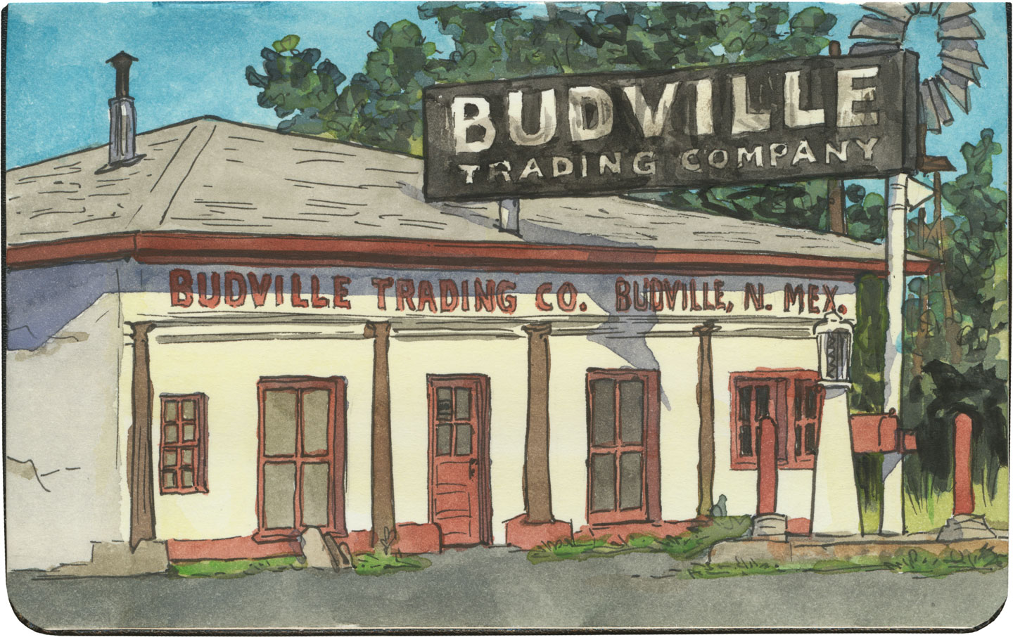
And while some have their roots in the actual Old West, many of these pit stops were built after Route 66 was run through. (Subsequently, in places where the modern Interstate diverted traffic away from 66, many of these trading posts are crumbling or closed altogether.)
Route 66 sketch by Chandler O'Leary

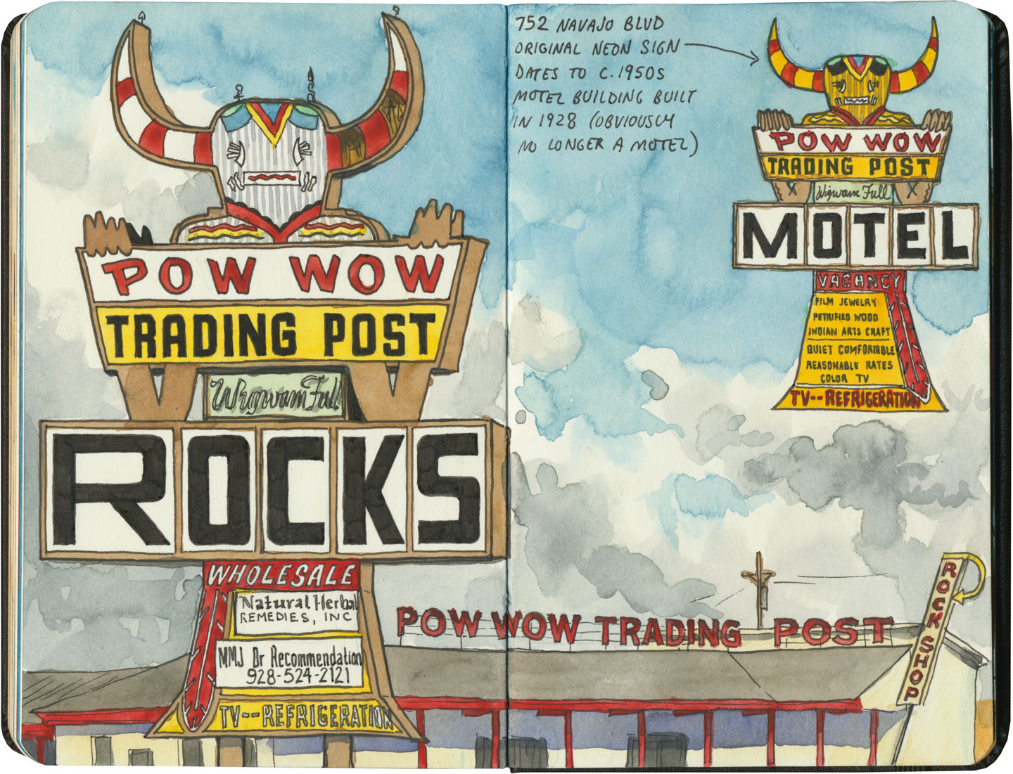
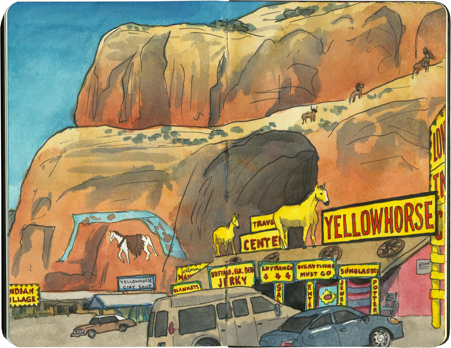
Thanks to historical examples like Hudson’s Bay Company, or the Hubbell Trading Post on the Navajo Nation, which has operated on the pawn (barter) system since the 1870s, we tend to associate trading posts with Indian Country. Route 66 is a prime example: half of the route (over 1300 miles) crosses through Native America, connecting more than 25 Indigenous nations. And since the vast majority of the Mother Road’s trading posts (and nearly all of those west of the Texas-New Mexico line) deal in Native goods, it’s no wonder a road trip through the Southwest makes us think of kachinas and beadwork.
Route 66 sketch by Chandler O'Leary

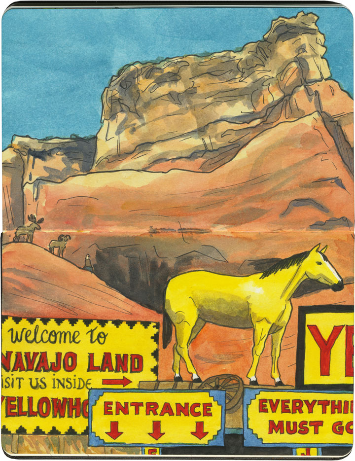
Though many of these shops are run by white owners, some are owned and operated by tribal members themselves.
Route 66 sketch by Chandler O'Leary

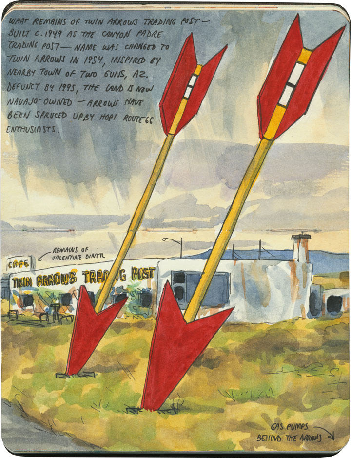
Regardless of who owns them, the overall effect of these places can run the gamut between eye-frying…
Route 66 sketch by Chandler O'Leary

…and downright melancholy.

Route 66 sketch by Chandler O'Leary

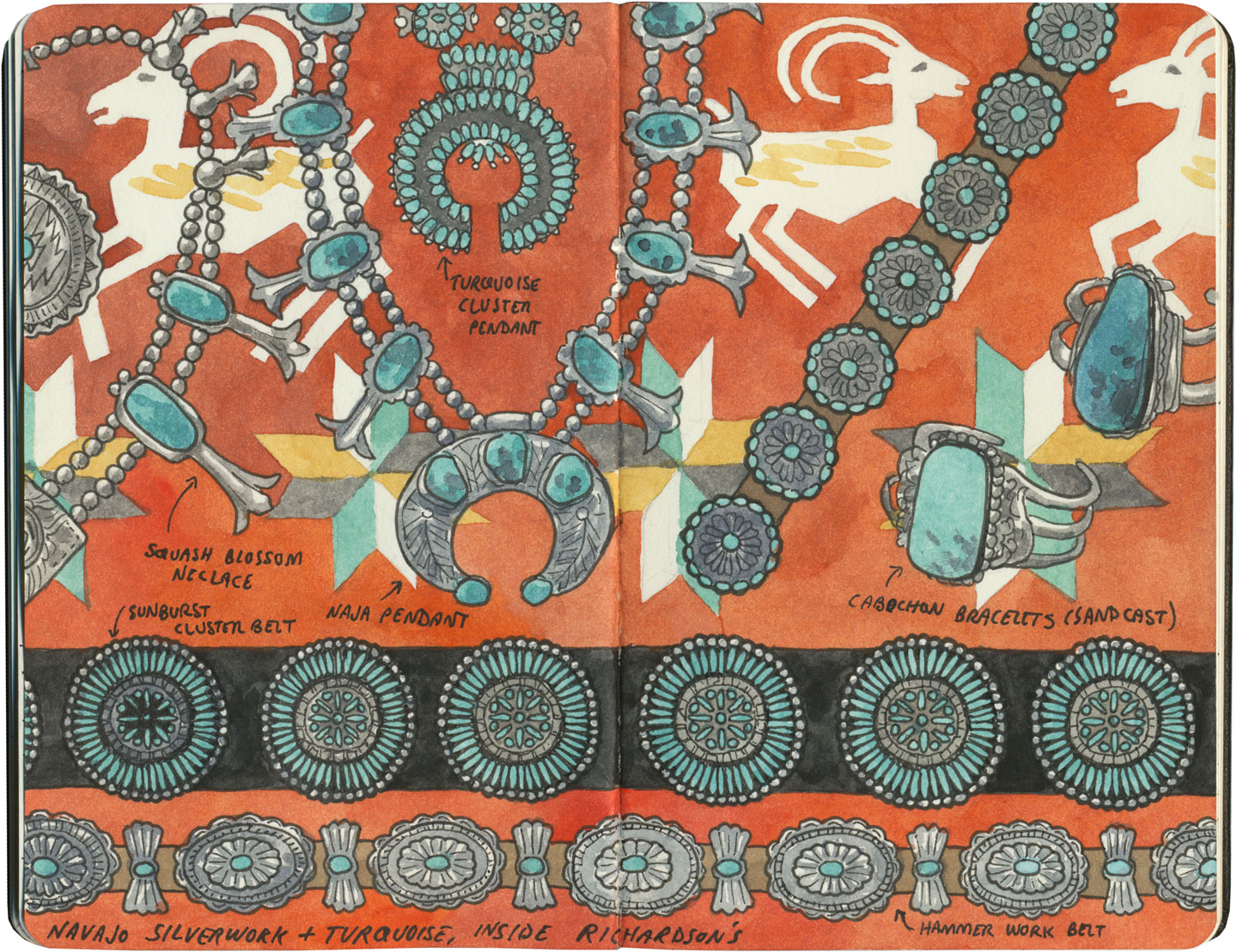
Gallup, New Mexico, has a little of both. Known as the “capital” of Indian Country, the town of 20,000 or so is the gateway to many American Indian nations, home to nearly a quarter of a million Indigenous people. As a result, Gallup is chock-a-block with trading posts and pawn shops, where local Navajo, Hopi, Zuni and others pawn their jewelry and other handmade goods in exchange for cash, staples or dry goods—and the shop owners then sell the jewelry to tourists. Nearly all of these shops are run either by white or, increasingly, Middle-Eastern owners.
Route 66 sketch by Chandler O'Leary

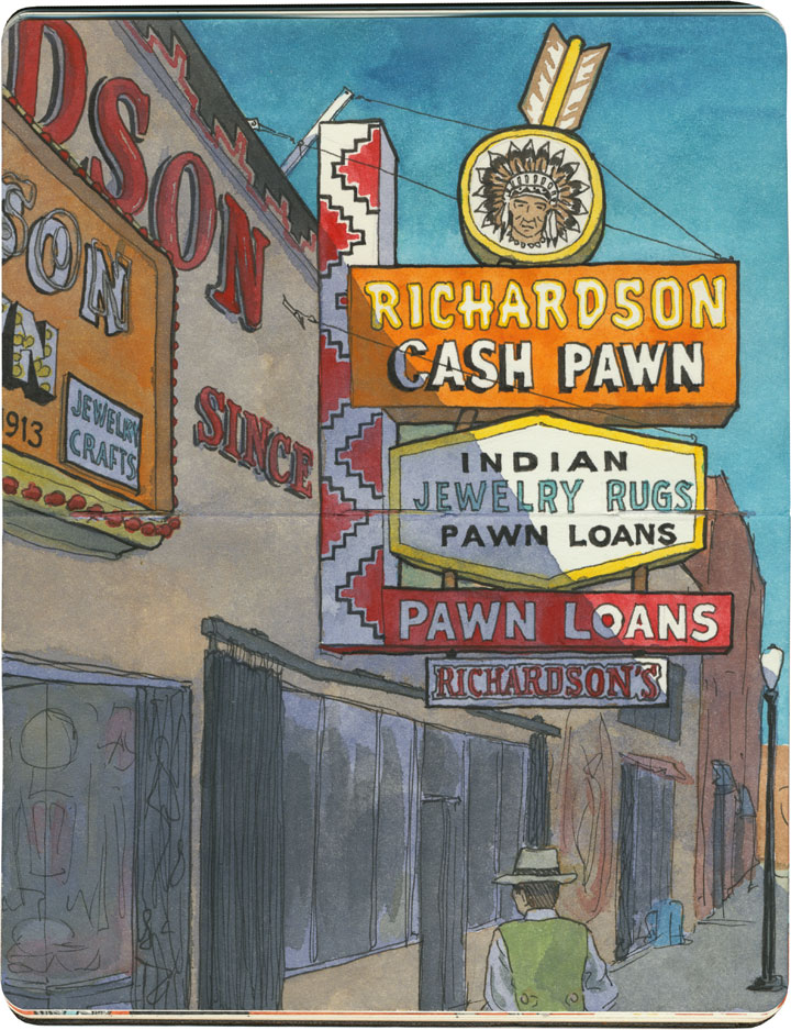
Gallup’s pawn shops have a controversial history, with some establishments accused of dealing in fake goods or cheating Indigenous makers out of a fair price for their work. So I did a little homework before we arrived, and chose Richardson’s as the place we’d visit. The shop has been in operation for over a hundred years, and though the Richardson family is white, they have a long reputation of being reputable dealers with a good relationship with the nations it represents. We marveled at the beauty on display there—some of the jewelry were incredible “old pawn” antique pieces.

Santa Fe sketch by Chandler O'Leary

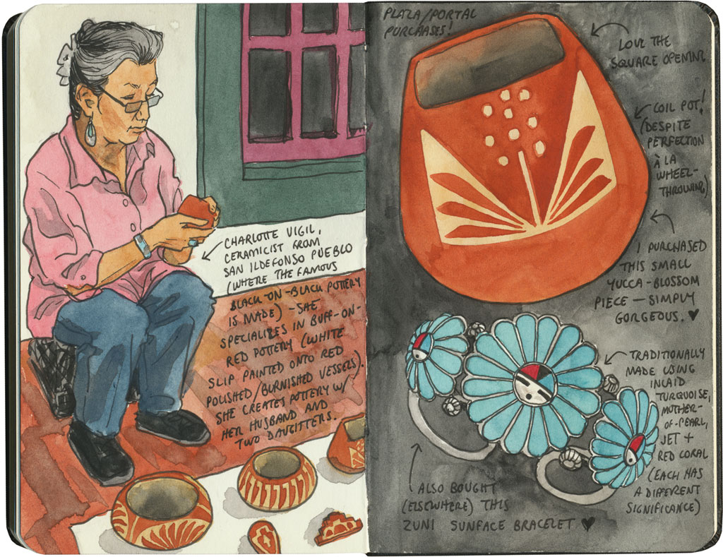
Still, my favorite trading experience on our Route 66 trip was when we had the chance to buy goods directly from the makers. In Santa Fe we shopped at the famous market at the Palace of the Governors, where artisans representing all of the region’s Indigenous cultures sell handmade jewelry, pottery, textiles, etc. at fair-trade prices. Each artist has to apply to the Native American Vendors Program to be included in the market, and the museum at the Palace of the Governors monitors each vendor to make sure the goods are authentic and the prices fair to the makers. (And bonus for history nerds like me: it’s really something to know you’re standing in the oldest continually-occupied public building in the country while you’re at it.)
Santa Fe sketch by Chandler O'Leary

In the end, I could only afford a couple of small items, but I was happy to know I was paying what they were actually worth (I don’t haggle, especially not with fellow artists), and that the proceeds would go directly to the maker. And best of all, I got to hear the stories behind each piece, from the person who made it.

That seems like a fair trade to me.

Save
Navajo dancer sketch by Chandler O'Leary

Desert dancer

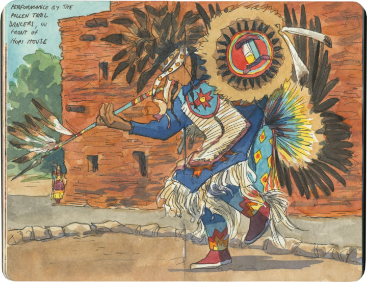
Speaking of seeing actual, authentic Indigenous culture on the road (as opposed to the fake stuff), I had a surprise waiting for me when I visited the Grand Canyon. I was perched on a stone wall, sketching something else, when I heard a crowd gather behind me. I turned around to discover my perch was a front-row seat for the performance.

Indigenous art and sculpture sketch by Chandler O'Leary

Art-ifacts

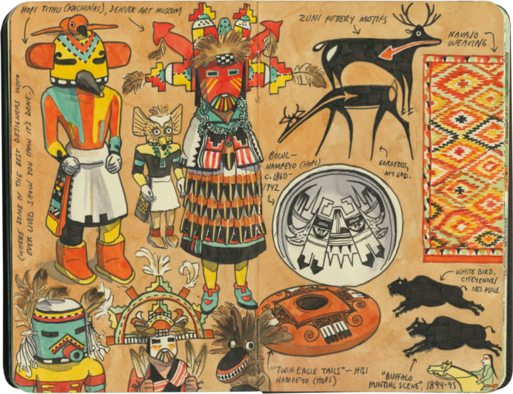
Another place I tend to spend hours poring over American Indian artwork is the fabulous Denver Art Museum. In addition to things like beadwork, the museum devotes two entire floors to an astonishing range of Indigenous art, from Pre-Columbian pottery to Plains paintings to Salish heritage poles, and everything in between. The collection includes at least one example from nearly every American and Canadian culture—I had no hope of sketching them all, but I was determined to make a respectable start, in any case.

Wigwam Motel (Arizona) sketch by Chandler O'Leary

Wigwam-a-rama

This post is part of an ongoing series called 66 Fridays, which explores the wonders of old Route 66. Click on the preceding “66 Fridays” link to view all posts in the series, or visit the initial overview post here.

Route 66 wouldn’t be Route 66 without its bevy of American-Indian cultural appropriation kitsch. The sheer number of faux teepees, tomahawks, totems and trading posts along the Mother Road is staggering—the number of details they get wrong even more so (like, ahem, teepees in the desert Southwest). Still, these wrongheaded landmarks are a huge part of the route’s history, and I’d be remiss if I didn’t mention them here.

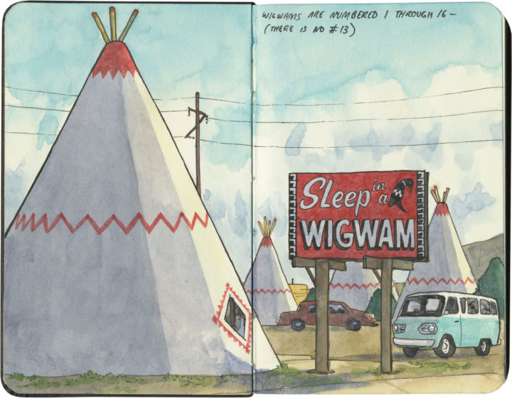
Most famous of all are the two (two, I say!) Wigwam Villages that still beckon travelers from the roadside—and these were actually part of a chain of seven motels that stretched from Florida to Kentucky to California in the 1940s and 50s.

Wigwam Motel (Arizona) sketch by Chandler O'Leary

The one in Holbrook, Arizona is the most well-kept of the two remaining villages, and is decked out with a ring of restored vintage cars and its original “Sleep in a Wigwam” billboard.

Wigwam Motel (California) sketch by Chandler O'Leary

Its sister site in California once displayed a much earthier sign: “Do It in a Teepee,” (actually, the sign is still there, just tucked away in the back of the property) which contributed to a seedy reputation that the current owners are trying hard to overcome.

Wigwam Motel (California) sketch by Chandler O'Leary

If these motels seem oddly familiar to you, imagine this sketch displaying a ring of giant traffic cones instead of teepees, and it’ll click: the San Bernardino Wigwam Village was the inspiration for the fictional Cozy Cone Motel in the Pixar film Cars.

I didn’t get a chance to “sleep in a wigwam” on this trip, but it’s just as well. As much as I love themed roadside kitsch, I don’t love cultural appropriation—particularly the American Indian variety.(Don’t even get me started on fashion models wearing war bonnets, or kid’s-room teepees at the Baby Gap.) Still, I’m glad to see these motels being preserved—Route 66 doesn’t need to lose any more of its landmarks.

Save

Save