Tag Archives: southwest

Route 66 sketch by Chandler O'Leary

The proof is in the pavement

This post is part of an ongoing series called 66 Fridays, which explores the wonders of old Route 66. Click on the preceding “66 Fridays” link to view all posts in the series, or visit the initial overview post here.

It’s easy to take for granted the fact that the American West is crisscrossed with highways nowadays, but those highways didn’t get there by chance. If you look closely at the routes those highways take, you can give yourself an excellent crash course in history, both human and natural. Overland exploration, trade routes, desert basins, animal migration, continental drift…all these things and more are hinted at by the map sketched out by the U.S. highway system.

Let me explain what I mean. If you happened to grow up in the Midwest, chances are your mental map would be dictated by a grid that follows the cardinal directions. In the Great Plains, particularly, where the landscape is mostly flat, dividing property lines and town borders into a standard grid makes the most sense. Much of the United States west of the Appalachians is arranged this way, in fact, in a basic grid called the Range and Township system. The system overlays a simple framework of one-square-mile sections over the entire western two-thirds of the country, dividing the landscape into rangeland for farming and six-mile by six-mile townships. Interestingly enough, we have Thomas Jefferson to thank for this system, which he devised in 1785 as a way to manage the vast swaths of land that, after the Revolution (and some years later the Louisiana Purchase), now belonged to the U.S. His reasoning, I think, was both practical and lofty: as a farmer himself, he was looking for a workable alternative to the inherited system of Metes and Bounds, England’s age-old framework for managing farmland and water access. While that system worked for the colonies, each roughly comparable in size and topography to what they knew in the Old World, the old framework wasn’t scalable to the size of the new West—particularly when tracts of land were being sold off sight-unseen to settlers and prospectors. But beyond the practical logic, I think Jefferson had more philosophical motives behind his plan. This is the guy who designed Monticello, after all, a monument to neoclassical thinking and an homage to ancient Greece and Rome. The Range and Township system applied a sense of order—however illusory—to the uncharted wilds of the West. It brought rational thought and a sense of opportunity to an area associated with chaos and the fear of the unknown.

Route 66 sketch by Chandler O'Leary

If you’ve ever visited the Great Plains, you can still see Thomas Jefferson’s plan in evidence, from the straight-as-an-arrow farm roads in rural areas, to the faithful system of thoroughfares in cities like Tulsa or Dallas, where the roads always travel from A to B in a straight line, with traffic lights appearing like clockwork at precise one-mile increments, and tenth-of-a-mile residential blocks in between.

But here’s the problem: Thomas Jefferson never laid eyes on the West he gridded out like a piece of paper. He never saw nature’s rebuttal to rationality in the Rockies or the Colorado Plateau. It’s all well and good to have a sensible grid in a flat place, without major physical features to interrupt the plan. But in many parts of the West, Jefferson’s tidy squares becomes utterly useless. You can’t easily farm a quadrangle of land that’s bisected by a canyon, and you can’t run a road up and over a mountain. Travel in a straight line is impossible in many, many places. As everyone from Chief Joseph to Lewis and Clark to highway engineers could tell you, there are some places in the West where only one route overland is possible—or none at all.

Route 66 sketch by Chandler O'Leary

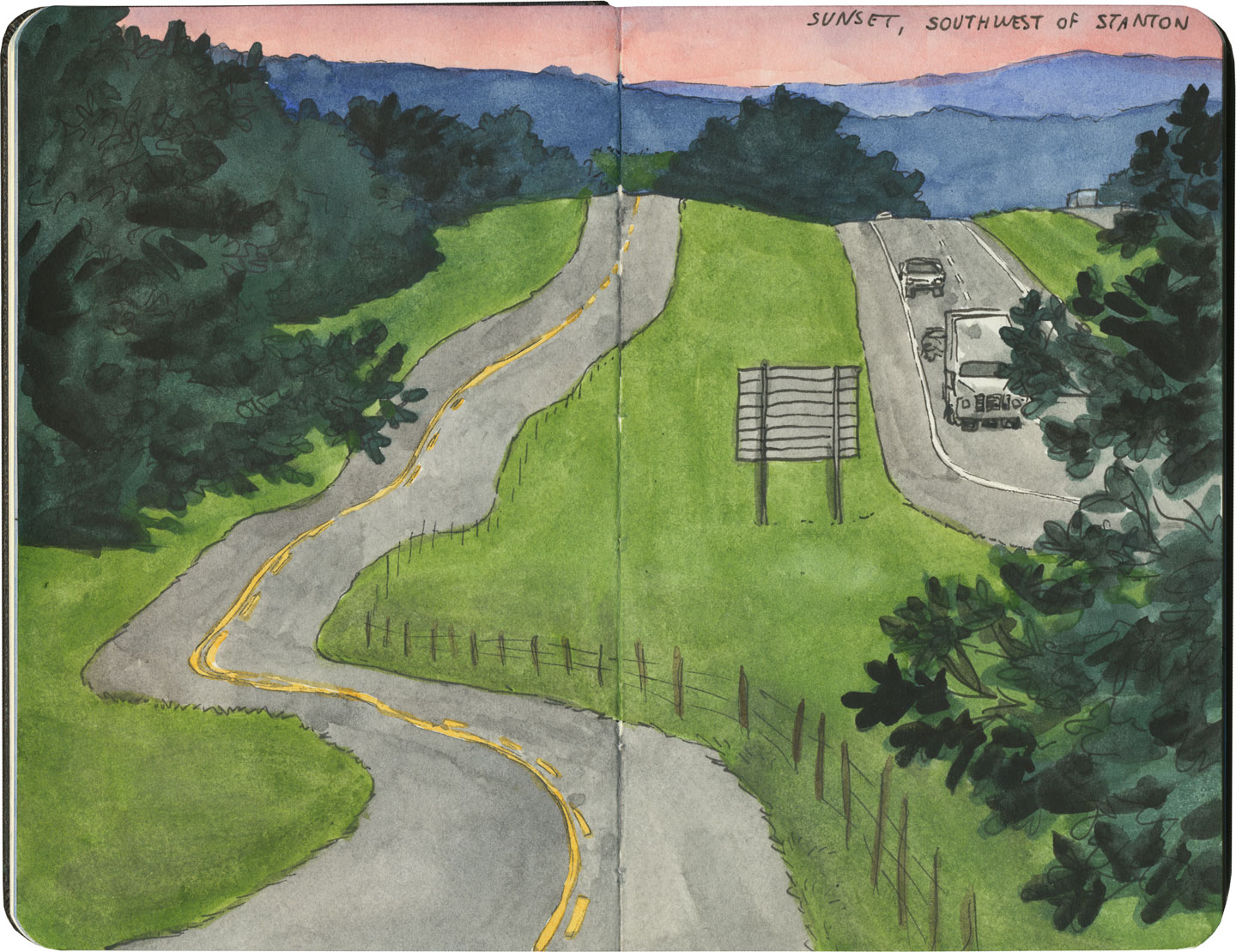
So if you look at a modern highway map of the western half of the United States, the limitations geography places on rationality are obvious. You can see precisely where the Corps of Discovery found their way to the Pacific Northwest, or where the stagecoaches hauled goods to Santa Fe, or how the Mormon pioneers tumbled out of the mountains to the Great Salt Lake, or the supply route linking the California Missions to Mexico. It’s all there, because centuries later we’re still traveling the exact same routes that humans always have, dodging mountains and following water to whatever their destinations were. The Conestoga wagons followed the game trails and trade routes of the various Indigenous peoples. The railroad followed the pioneers’ wagon tracks. The first pavement slabs paralleled the railroad grade, and modern Interstate freeways zoom right over many of those original roadbeds and trailways. Even the technology of conveyance was based on the older methods of travel—just look at the wheel base on a modern car, whose width matches that of railroad cars, themselves directly descended from the lineage of horse-drawn wagon measurements.

As you can probably guess by my long-winded introduction here, this stuff ties square in with Route 66 and the path it cuts to the Pacific.

Route 66 sketch by Chandler O'Leary

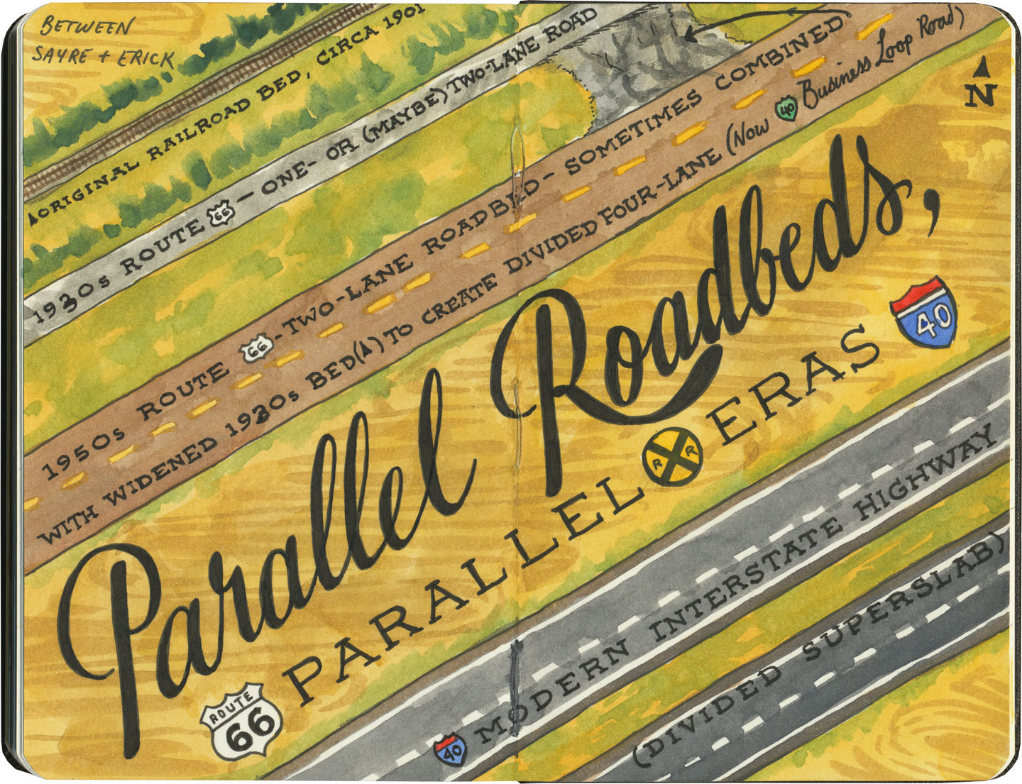
There are many places along Route 66 where you can see this progression of transportation history unfold before your very eyes. In flat places like central Illinois or eastern Oklahoma, there was no reason to reuse the same roadbed over and over again—they had all the land in the world at their disposal, and nothing to impede their path. So they simply built the new road alongside the old—over and over again.

Route 66 sketch by Chandler O'Leary

The result is a network of parallel lines, each wider than the last, each laid down at a different point in recent history. In these places, the land acts like a palimpsest, marked over and over again with new traceries of roadbeds, while the old ones, though crumbling in disrepair, still remain visible.

Route 66 sketch by Chandler O'Leary

Since Route 66 was decommissioned as an official national highway, there are places where it’s difficult to discern the original route. The old roadbed might be there, but the Mother Road can get lost amid a modern tangle of frontage roads, diversions, and replaced pavement.

Route 66 sketch by Chandler O'Leary

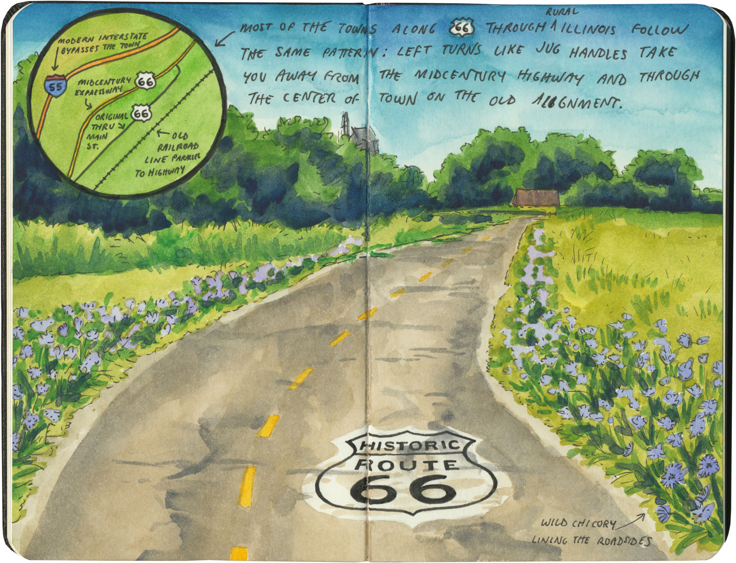
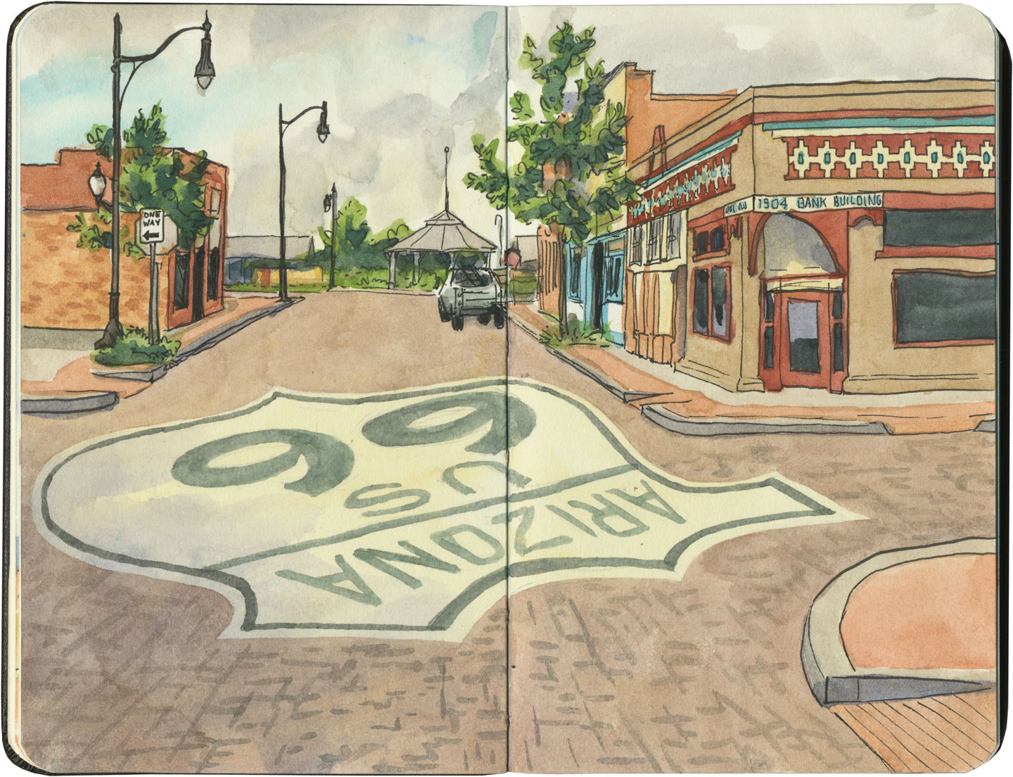
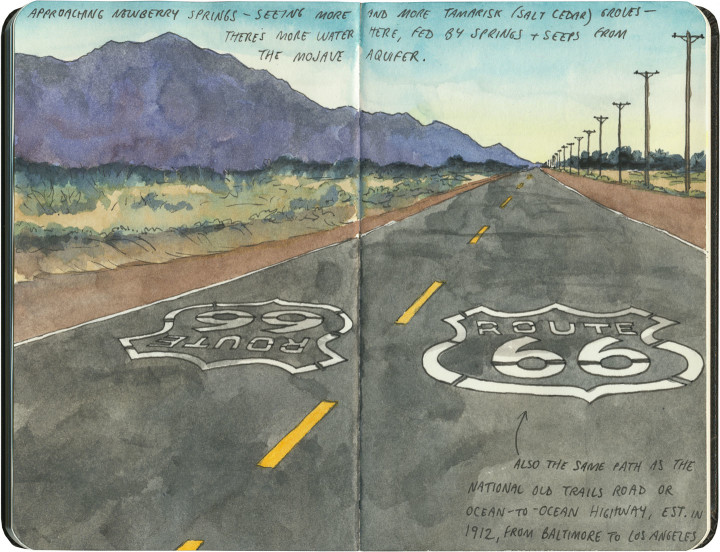
Part of the joy of traveling Route 66 is learning to recognize the old road. In some places, the path is lit up like a beacon with painted pavement and restored waymarking…

Route 66 sketch by Chandler O'Leary

…in others, tracing the original marks on the palimpsest becomes something of a quest.

Route 66 sketch by Chandler O'Leary

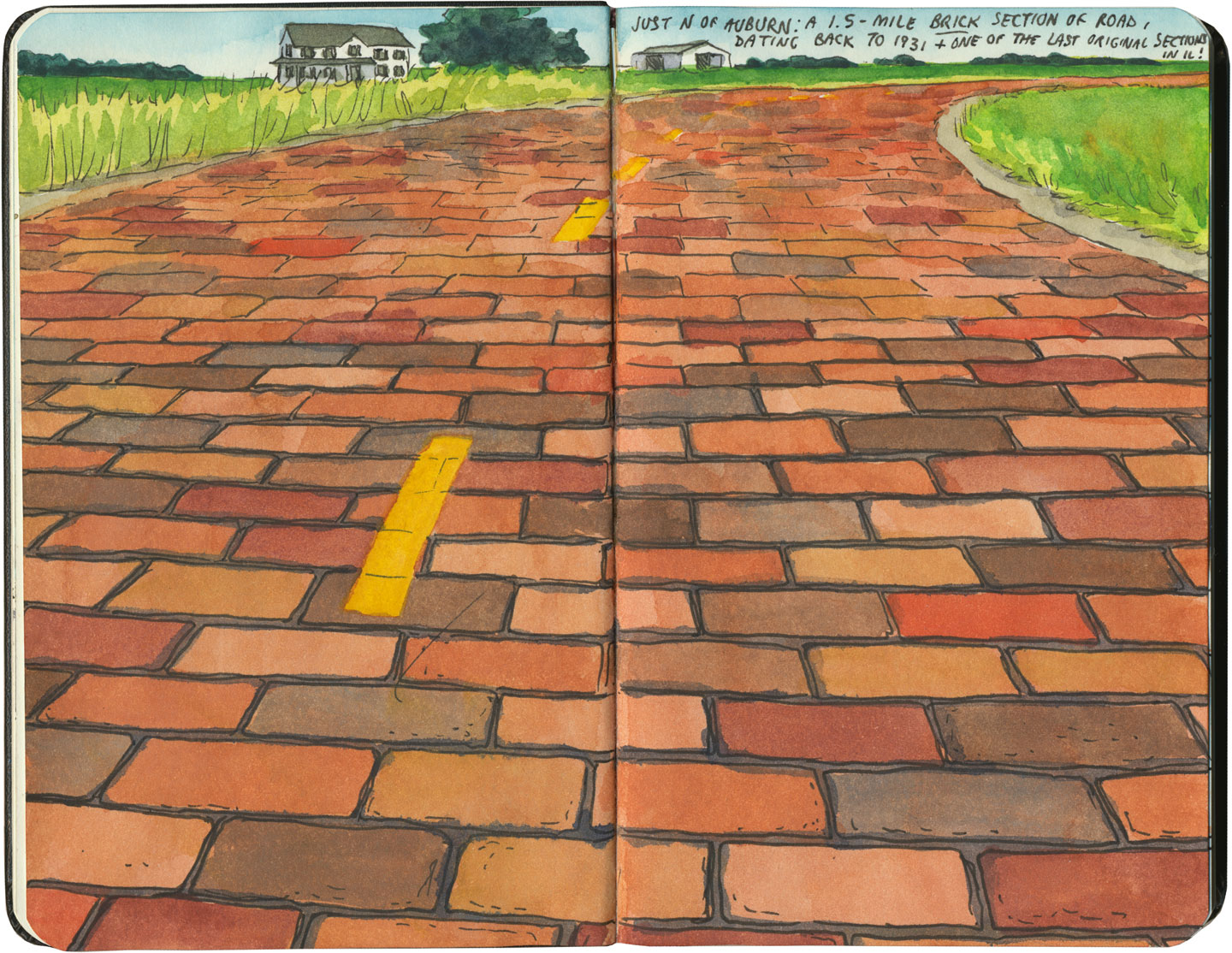
And then there are the places where the original pavement itself becomes the attraction along the way—like this gorgeous stretch of brick roadway in Illinois, paid for in the 1930s by a brick magnate and lovingly maintained as a curious relic of the past.

Route 66 sketch by Chandler O'Leary

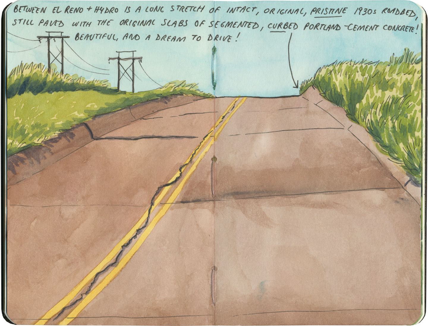
My favorite of all was the long section of 66 that traverses central Oklahoma: the combination of good craftsmanship and a remote locale has preserved the original roadbed impeccably. It sounds nerdy to say it out loud, but I dare any 66 enthusiast not to feel a thrill when seeing that curbed Portland cement.

Route 66 sketch by Chandler O'Leary

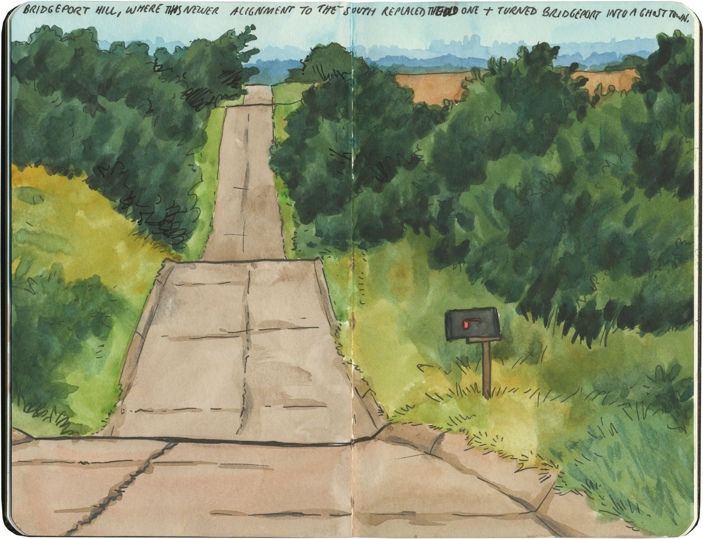
By the end of our journey, we’d gotten really good at spotting the difference between old and new along the way. And whenever we lost the thread of the route (easily done, since there are so many alignments, many of which have been replaced or buried under modern roads), it became easier and easier to spot the hints that would lead us back to the Mother Road.

Route 66 sketch by Chandler O'Leary

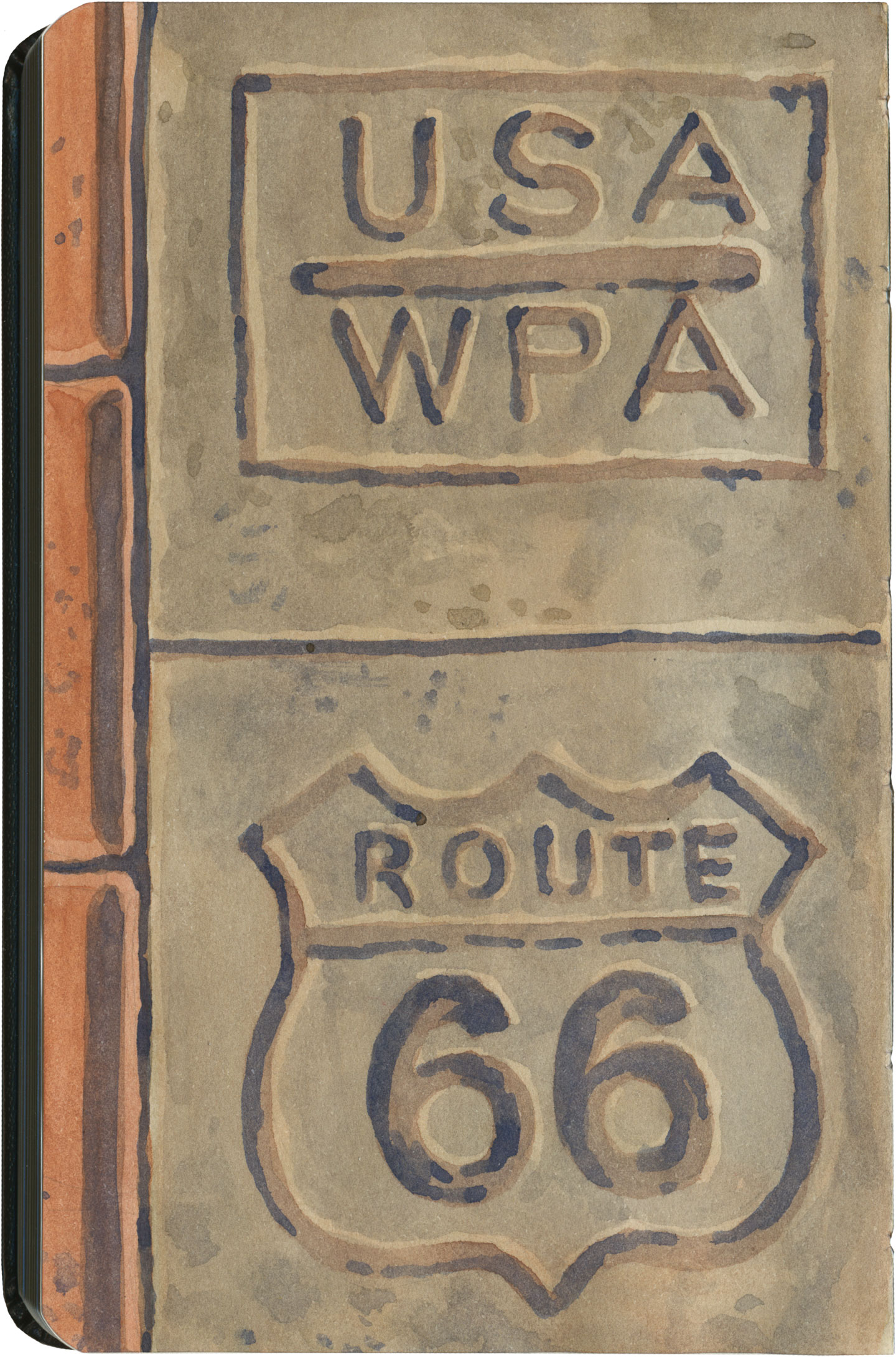
What led me to travel Route 66 was a love of history and Americana, and a desire to travel a well-worn and well-loved path. I had no idea that it would be so much more—and something much closer to the feeling of solving a mystery. Beyond the fun of diners and neon, there’s a richer, subtler 66 to be discovered, if you’re willing to look a little deeper. All the clues are there—some of them stamped right into the pavement underfoot.
Save

Save

Save

Save

Save

Save

Save

Save

Save

Route 66 sketch by Chandler O'Leary

Ranch to table

This post is part of an ongoing series called 66 Fridays, which explores the wonders of old Route 66. Click on the preceding “66 Fridays” link to view all posts in the series, or visit the initial overview post here.

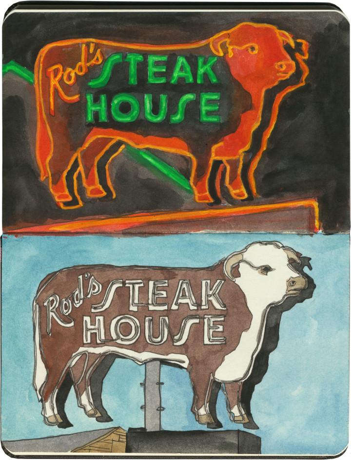
When it comes to road food along Route 66, sometimes a hot dog just doesn’t cut the mustard. When you’re traversing the Wild West, sometimes you just want a darn steak already. If a slab o’ steer is your cuppa tea, there’s no better place than Rod’s Steakhouse in Williams, Arizona.

We stayed three nights in a motel kitty-corner from Rod’s, so I ended up spending a lot of time staring at that neon sign—no complaints here, it’s a real beauty. What you couldn’t see from the motel was that the steer sign was just the tip of the fluorescent iceberg:

Route 66 sketch by Chandler O'Leary

A whole block of gorgeous neon! They had me at hello.

Route 66 sketch by Chandler O'Leary

So on our last night in Williams, we sat down for a steak dinner. Between the neon signs and the juxtaposition of cowboy decor and scores of Italian and French tourists, I was already in heaven. But you should have seen the rapture when I saw what was waiting at the table:

Route 66 sketch by Chandler O'Leary

Die-cut menus and vintage custom china pattern? Swoon.

I mean, yeah. The steak was great, too—actually, my rib eye was downright perfect. But no matter how unforgettable the meal, it’s the visual details I’ll always remember.

Route 66 sketch by Chandler O'Leary

Burro borough

This post is part of an ongoing series called 66 Fridays, which explores the wonders of old Route 66. Click on the preceding “66 Fridays” link to view all posts in the series, or visit the initial overview post here.

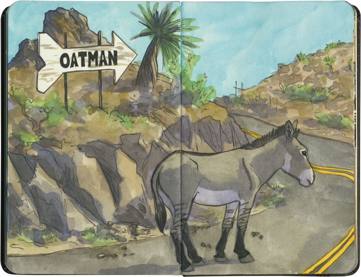
I think this is the closest I’ve yet come to experiencing the phenomenon of the sacred cow. In Oatman, Arizona, they have sacred donkeys.

Well, if not exactly sacred…then, I’d imagine, lucrative.

Route 66 sketch by Chandler O'Leary

Oatman is something of a living ghost town: what’s left is a relic of the gold rush, a dessicated hamlet tucked away in the craggy, bare mountains of western Arizona. The place is so unbelievably remote, it’s a wonder that any highway reached it at all, let alone the Mother Road.

At the time of the gold rush, prospectors brought burros with them to do the heavy lifting for them. Far more hardy than your average horse, the donkeys could tough it out in such an inhospitable place. The ore veins dried up during the Great Depression, and at the start of World War II, the mines were formally closed as nonessential to the war effort. The last few miners turned their beasts of burden loose onto the surrounding hills, and left town for good.

The burros, being burros, thrived on their hardscrabble existence, and before long had produced an entire population of feral donkeys. Their sleek, well-fed descendants roam the streets of Oatman today, stalling traffic (such as there is) and biting the fingers of unwary tourists.

Route 66 sketch by Chandler O'Leary

You have to hand it to Oatman: someone there saw the potential for a feral donkey to become a serious—and sacred—cash cow.

I’m a little ashamed to say I didn’t part with any tourist cash in Oatman. I didn’t even get out of the car. It was 116 degrees Fahrenheit outside, and while I’ll do almost anything for a good tourist trap, frying like an egg isn’t on the list. But then again, stubborn as I may be, I’m no burro—just a pale Irish gal from a cold, rainy climate.

Maybe I’ll visit in the winter next time, and buy an extra t-shirt as penance.

Route 66 sketch by Chandler O'Leary

Running the Googie gauntlet

This post is part of an ongoing series called 66 Fridays, which explores the wonders of old Route 66. Click on the preceding “66 Fridays” link to view all posts in the series, or visit the initial overview post here.

If you want to see a good concentration of neon signage you can visit the Miracle Mile in California, or you might try 11th Street in Tulsa. Or you just can head straight for the Googie Mecca. I gave you just a taste of it in last week’s installment, but I figured it was worth elaborating a bit.

Route 66 sketch by Chandler O'Leary

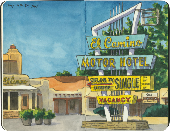
There are actually two Route Sixty-Sixes in Albuquerque, as the Mother Road’s path changed from a north-south route to an east-west one. (That’s a story in and of itself, which I’ll tell in a future post.) And both alignments of the old highway are absolutely crammed with vintage neon.

Route 66 sketch by Chandler O'Leary

Central Avenue is the more recent incarnation of 66, cutting roughly a fifteen-mile neon swath through the heart of the city.

Route 66 sketch by Chandler O'Leary

Googie beacons point the way from the eastern boundary…

Route 66 sketch by Chandler O'Leary

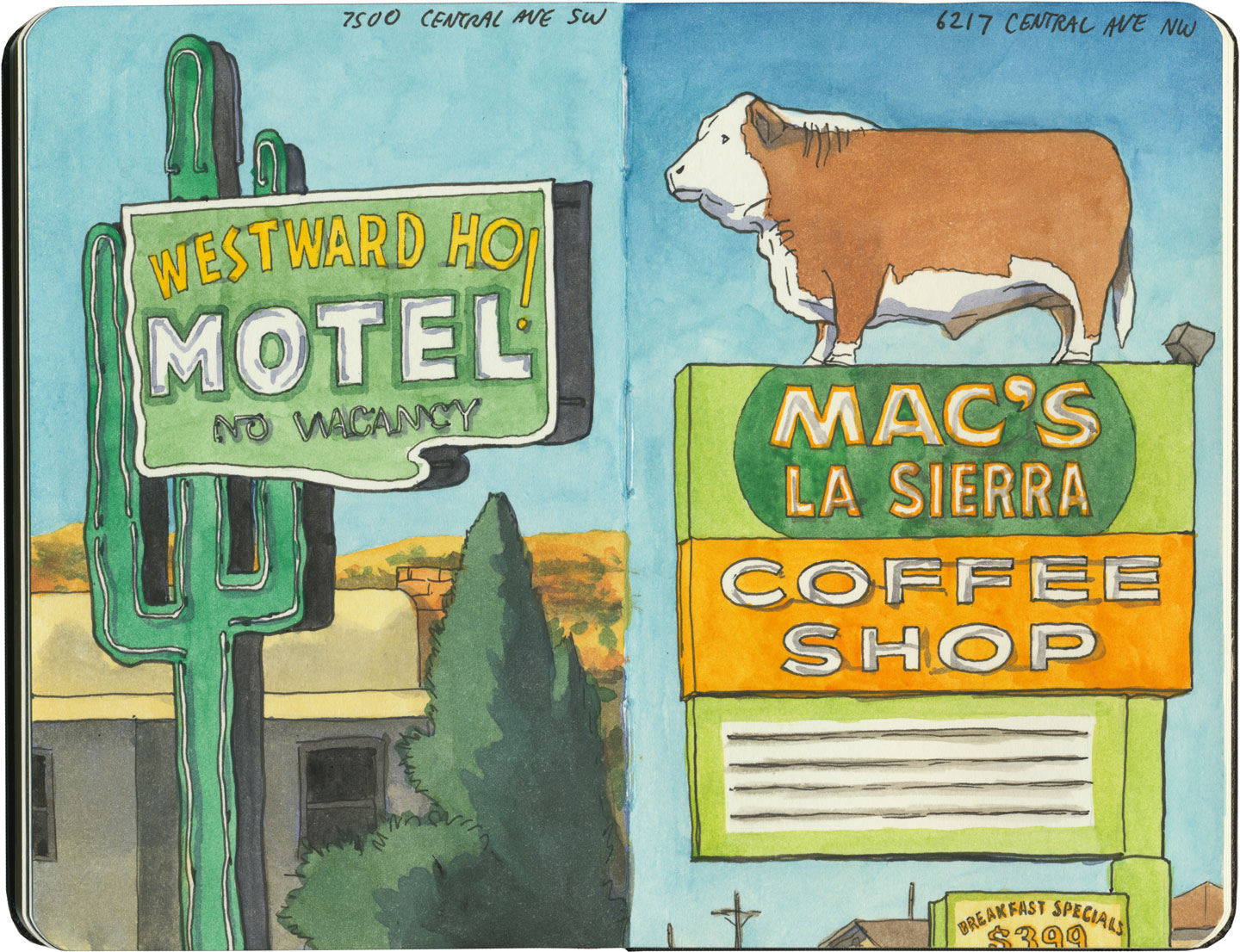
…to the far western edge of town. At the peak of Route 66’s heyday in the mid-1950s, there were apparently 98 motels along Central Avenue—yet even in 2015 I lost count of how many old signs we passed.Route 66 sketch by Chandler O'Leary

The Mother Road signage isn’t limited to lodging, either.

Route 66 sketch by Chandler O'Leary

Many of the signs were in fine fettle, either newly restored or lovingly maintained. Still, we passed business after business that had very recently been shuttered for good—a reminder that the Route 66 Mom-n-Pop is an endangered species.

Route 66 sketch by Chandler O'Leary

About fifteen or twenty years ago, stretches of Central Avenue and its motel relics were plagued with the hallmarks of hard times: drugs, violent crime, human trafficking. Yet in recent years the remaining business owners have made an effort to clean up the thoroughfare and their properties, particularly from Nob Hill inward.

Route 66 sketch by Chandler O'Leary

The contemporary result is example after gleaming example of gorgeous storefronts and restored midcentury typography.

Route 66 sketch by Chandler O'Leary

I just couldn’t believe our luck—we’d hit the Googie jackpot.
Route 66 sketch by Chandler O'Leary

There wasn’t time to finish even a single sketch that day—it was all I could do to keep up by jotting down messy, temporary pencil scrawls. The “To Finish in the Studio Later” debt I incurred that day was enormous, and I’m still paying it off. I haven’t even showed you everything here—just my favorites (oh, that canary Cleaners storefront! A sketch will never do that beautiful, pristine façade the justice it deserves).

Route 66 sketch by Chandler O'Leary

So, yeah. I loved Albuquerque already, for other reasons, but Route 66’s mark on the city pushed it into the stratosphere for me. The only downside is that now the bar has been raised a goodly height—and at least where old neon is concerned, it’ll be hard to find anywhere else that can hold a candle to the Q.


Route 66 sketch by Chandler O'Leary

The tail wagging the dog

This post is part of an ongoing series called 66 Fridays, which explores the wonders of old Route 66. Click on the preceding “66 Fridays” link to view all posts in the series, or visit the initial overview post here.

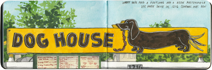
Those of you who are fans of the show Breaking Bad will recognize Fido here, but you might not know that this beauty has graced Route 66 for over half a century. But while the place is notable both for its television fame and the fact that you can get red or green New Mexico chili sauce on your dog, I was there purely for the neon.

For almost all of our Route 66 trip, I had to content myself with seeing most of the Mother Road’s neon during daylight hours only. But luckily for me, we stayed with friends in Albuquerque that night. I told them I was dying to see the Dog House at night, so after dinner we all made the trek back down to Central Avenue together.
Route 66 sketch by Chandler O'Leary

I couldn’t decide which stage of the neon motion to sketch, so I drew them all. And that led me to an idea I’d never tried before…

Animated Route 66 sketch by Chandler O'Leary

…just a wee bit of sketchbook animation. I think I might have stumbled upon something I’ll keep doing again and again. After all, there’s an awful lot of animated neon out there!

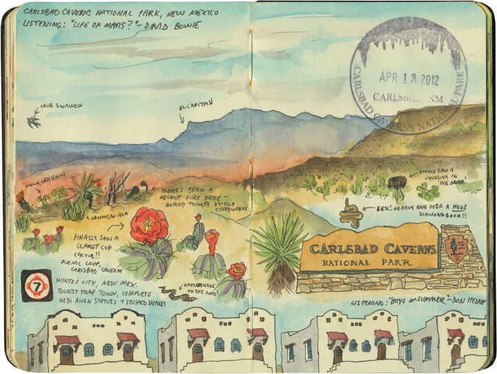
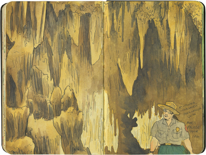
Carlsbad Caverns National Park sketch by Chandler O'Leary

Cave paintings

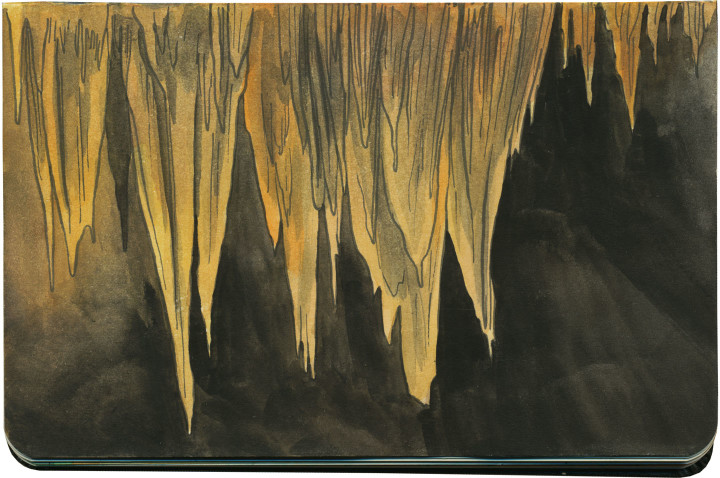
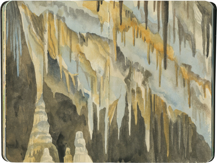
Well, I might not have had the chance to tour Meramec Caverns, but I got to tour the everloving snot out of Carlsbad Caverns—and I have the bursting sketchbook to prove it.

Carlsbad Caverns National Park sketch by Chandler O'Leary

We were there in the “wrong” season—that is, not the time of year for bat-watching. But it didn’t matter: I figured the cave itself would be plenty enough to keep my pen busy.

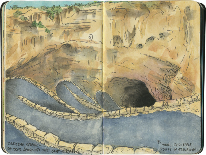
Carlsbad Caverns National Park sketch by Chandler O'Leary

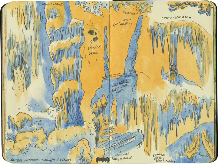
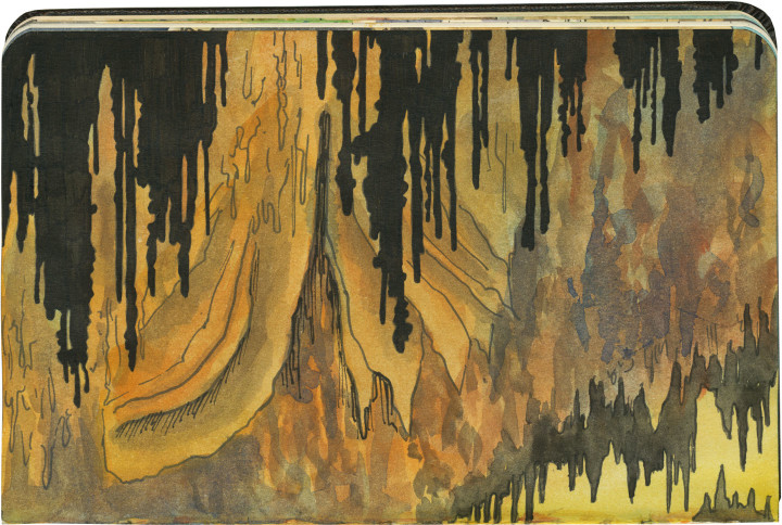
Boy howdy, was that an understatement. I forgot all about the steep hike as soon as we got underground, because my brain immediately broke. At least, the part of my brain used to drawing recognizable things broke. The under-used bit that loves abstraction came roaring to life. It was like a Seussian paradise down there.

Carlsbad Caverns National Park sketch by Chandler O'Leary

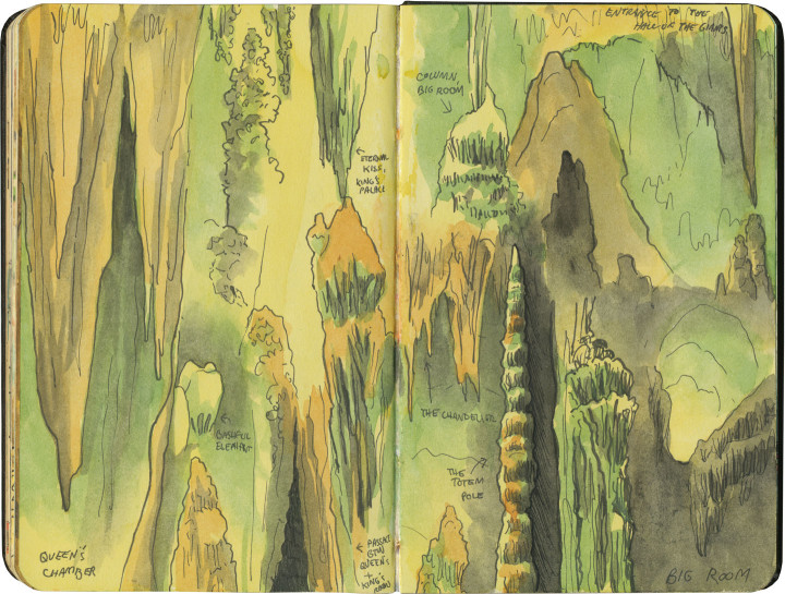
I think anyone wanting to teach design should send their students to Carlsbad Caverns. Around every curve waits a lesson in composition, or silhouette, or texture, or complex linework, or negative space.

Carlsbad Caverns National Park sketch by Chandler O'Leary

Of course, it’s far too dark in the cave to break out the old watercolors, so I had to do that part later, but I had no problem making drawing after quick drawing on the spot, while the friendly park ranger told us interesting stories (have I mentioned that I love park rangers?)

Carlsbad Caverns National Park sketch by Chandler O'Leary

And the limestone formations lent themselves so well to drawing! The way water carved each stalactite into linear shapes, or formed ripples in the surface of rock—it was like reinterpreting a line drawing that already existed in three dimensions.

Carlsbad Caverns National Park sketch by Chandler O'Leary

Of course, none of this drawing (nor any of the dramatic photographs you see of the place) would be possible without the work the National Park Service did to show the caverns in their best light—quite literally! Almost as much as the rock formations themselves, what really struck me was how incredible the lighting work is in there, and how the mechanics of it all are nearly invisible. Without such brilliant lighting design, each spectacular formation would be lost in a sea of overwhelming texture. The park goes way beyond any museum, and ventures into the realm of art: if nature is already perfect on its own here, it takes a masterpiece of illumination to make humans appreciate it all.

Carlsbad Caverns National Park sketch by Chandler O'Leary

Save

Arches National Park sketch by Chandler O'Leary

Frozen desert

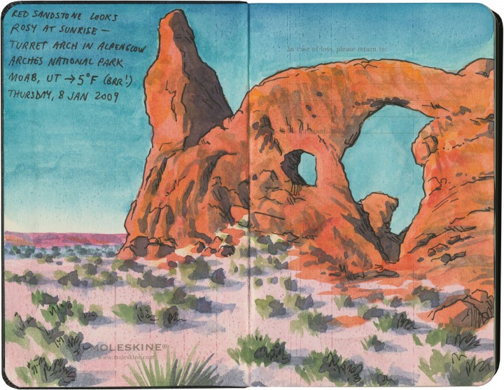
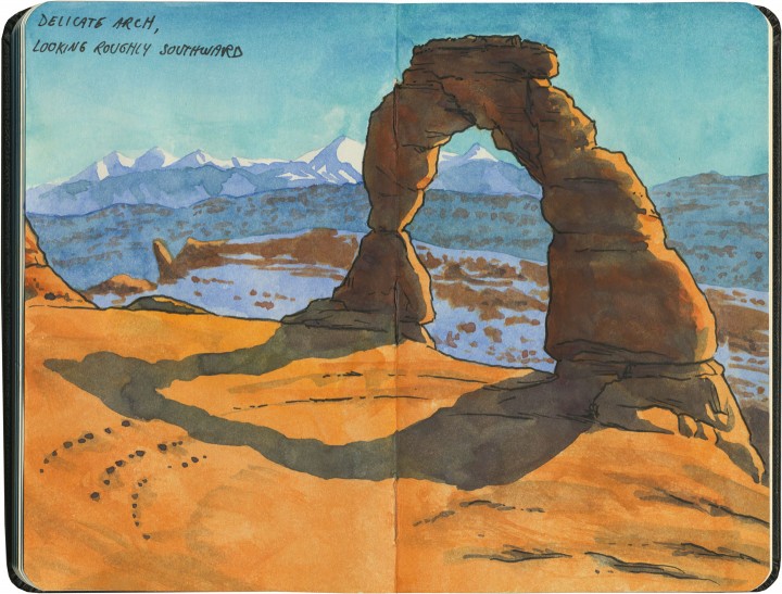
In my humble opinion, the absolute best time to visit Arches is in the winter. Sure, you’ll have to wrap up extra warm (it barely got above zero degrees F during the day!), and if you’re sketching, you’ll have to think ahead to keep your paints from freezing. But the rewards far outweigh any annoyances. For one thing, there’s nothing like seeing Arches under a blanket of snow. For another, the teeming hordes that descend upon the place during the peak season are simply nonexistent. So you’re far more likely to have the same luck the Tailor and I did, when we had this…

Arches National Park sketch by Chandler O'Leary

…all to ourselves.

Save

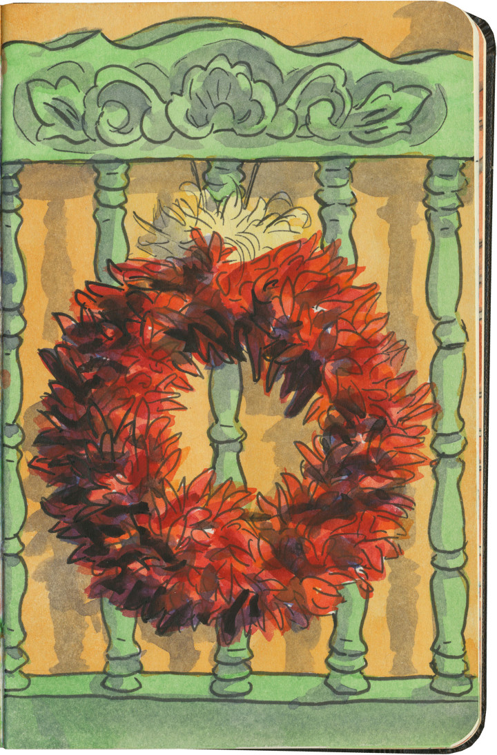
Chili ristra wreath sketch by Chandler O'Leary

Red and green

If you find yourself in a New Mexico restaurant, your server will ask you if you want red or green chili sauce with your entrée. If you happen to want both, you can answer “Christmas,” and they’ll know what you mean.

Well, I didn’t happen to have a sketch of “Christmas” on a plate, but I figured this was the next best thing. Whether you’re in New Mexico or somewhere else this year, I wish you a very merry Christmas, indeed.

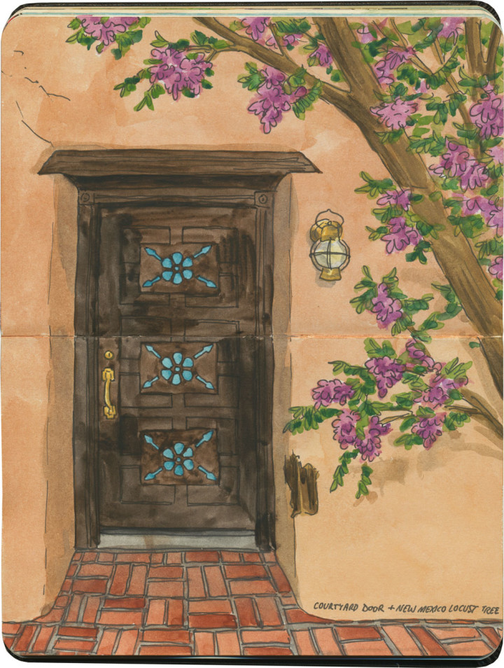
Albuquerque door sketch by Chandler O'Leary

On the threshold

Whenever I travel, I know I’m only seeing a small fraction of wherever I am—usually streets and exteriors. I’m always wondering what lies on the inside of the buildings I pass, and when I’m lucky enough to happen upon an open courtyard, I feel like I’m getting a glimpse of a city’s hidden, inner life. So naturally I’m attracted to doorways and porticoes (seriously, I could dedicate a whole website just to sketches of doors)—even if they remain closed to me. Each time I draw a door, it’s like my hands are asking the question: what’s on the other side?

Sometimes I’m frustrated by my lack of an answer, by the reminder that I’ll never have enough time or access to see everything I want to see. Sometimes, though—like on this day—just admiring the door itself was enough.